

Click Menu Option to Show/Hide Data
Click Image to Enlarge – Images Auto-Update
Current Hazards / Alerts
 CONUS Watches/Warnings/Advisories Click Here for Alert Details |
 GRR Latest Watches and Warnings Click Here for Alert Details |
Surface Weather Observations
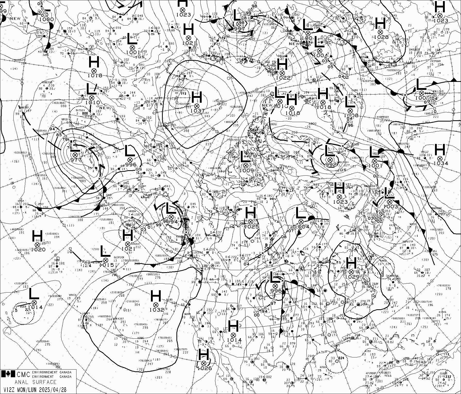 12z NAMER Surface Analysis |
 CONUS Surface Analysis |
 COD Midwest Frontal Analysis |
 Michigan Surface Observations Go To Midwest Current Maps! |
 SPC Activity Map |
 NAMER Lightning Flash Analysis |
 CONUS Reflectivity Loop Go To High Res CONUS Loop |
 Michigan Reflectivity Loop |
 Latest GRR Reflectivity Loop |
 Latest DTX Reflectivity Loop |
 Latest IWX Reflectivity Loop |
 Latest APX Reflectivity Loop |
Quick Glance COD Analysis Data
 COD CONUS Surface Analysis (latest) |
| COD Midwest Surface Analysis |
 COD CONUS Surface Mositure Flux Divergance |
 COD CONUS Surface 3hr Pressure Chance & 10m Wind |
 COD CONUS 2m THETA-e (K) |
 COD Surface MSLP & 2m Temperature |
 500mb Heights & Vorticity Analysis & Water Vapor Satellite |
 RAP-Meso 300mb Height, Wind, Divergance |
 RAP-Meso 300mb Height, Wind and Temperature |
 RAP-Meso 500mb Height, Wind and Temperature |
 RAP-Meso 700mb Frontogenesis |
 RAP-Meso 850mb Height, Wind, Temperature & Dewpoint |
Great Lakes / Northeast SPC Mesoanalysis
Surface
 Surface T, Td, wind and PMSl |
 MSLP and sfc wind |
 3hr sfc delta-Td and current sfc wind |
 3hr sfc delta-T and current sfc wind |
Thermodynamics
 SBCAPE & SBCIN |
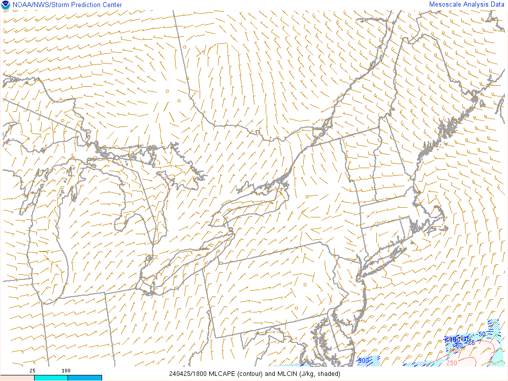 MLCAPE & MLCIN |
 DCAPE & DCIN |
 SB LI & SBCIN |
 700-500mb lapse rates |
 0-3km lapse rates |
Kinematics
 Effective Bulk Shear |
 0-6km shear vector |
 0-3km shear vector |
 0-1km shear vector |
 effective inflow base ESRH & storm motion |
 0-3km SRH and storm motion |
 0-1km SRH and storm motion |
 0-2km storm relative wind |
 4-6km storm relative wind |
 Anvil level SR winds and estimated (best CAPE) EL |
Composite & Other Indices
 Supercell Composite & Bunkers |
 Fixed sigtor & SBCIN |
 Effective sigtor & MLCIN |
0-1km shear vector |
 Non-supercell tornado parameter |
 Sighail |
 SARS hail size |
 large hail parameter |
 0-1km EHI |
 0-3km EHI |
 MU LI & 850/500 crossovers |
 0-3km lapse rate & 0-3km MLCAPE |
 0-3km MLCAPE & sfc vorticity |
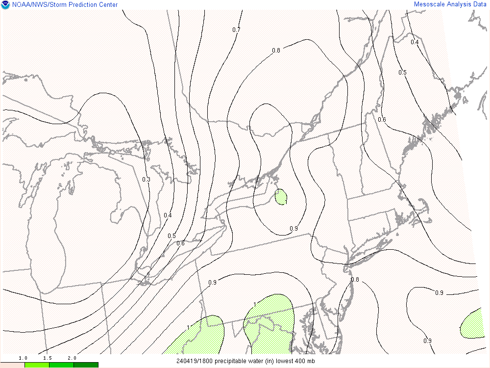 Precipitable Water (<400mb) |
Weather Satellite Images
 North America Visible + IR Satellite |
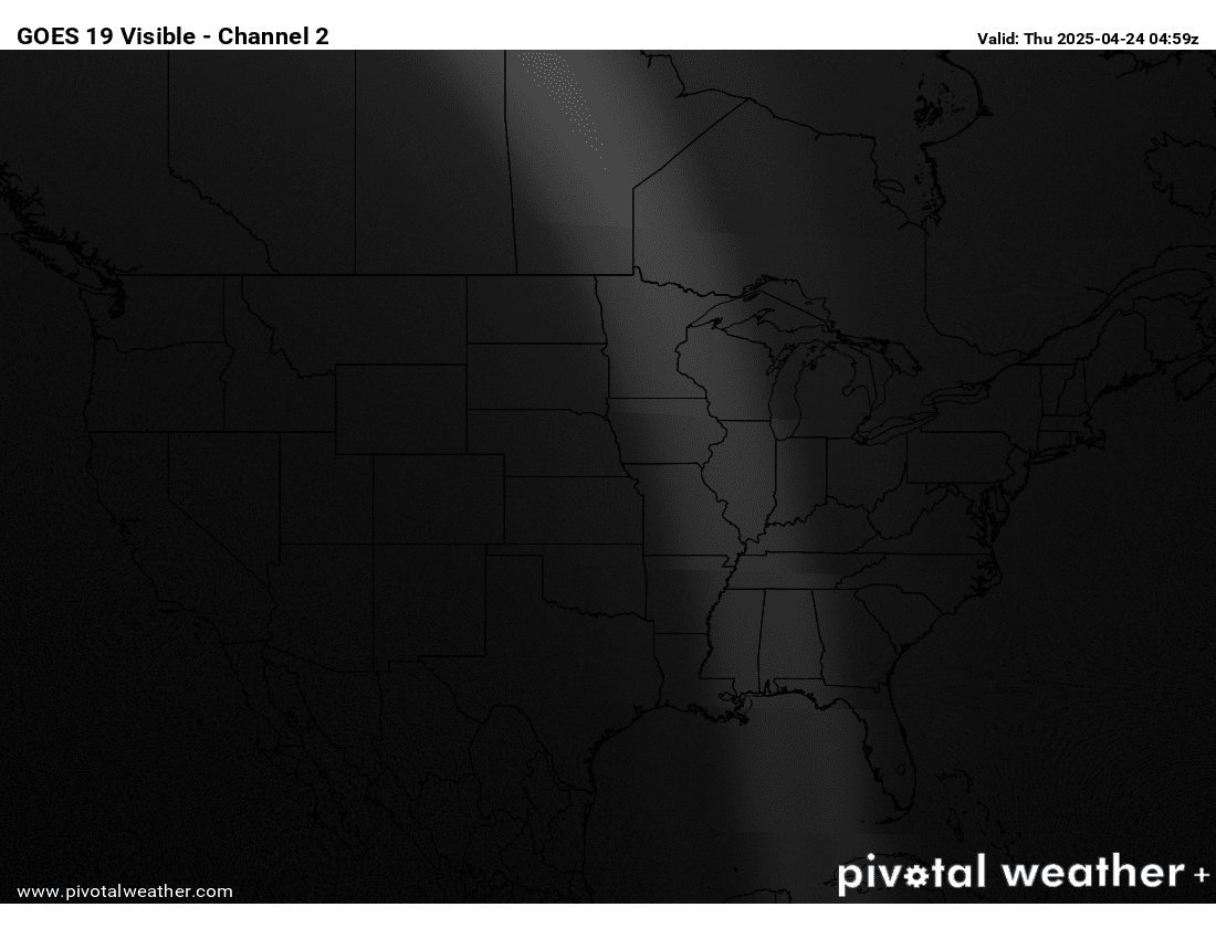 CONUS Visible Satellite |
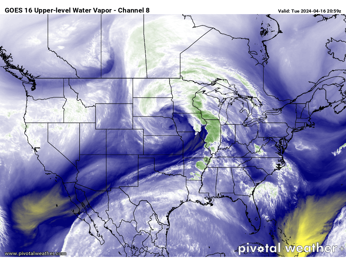 CONUS Water Vapor Satellite |
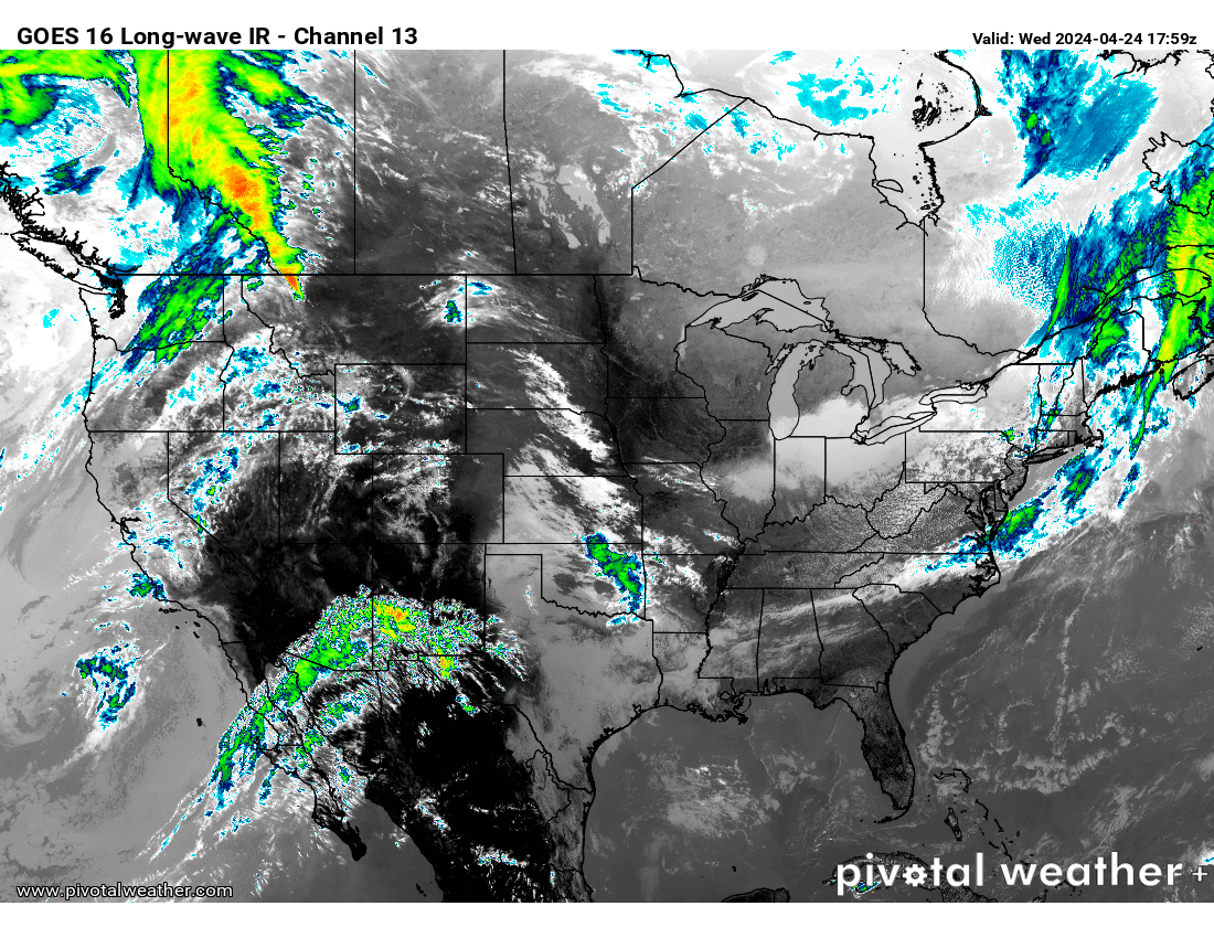 CONUS Infrared Satellite |
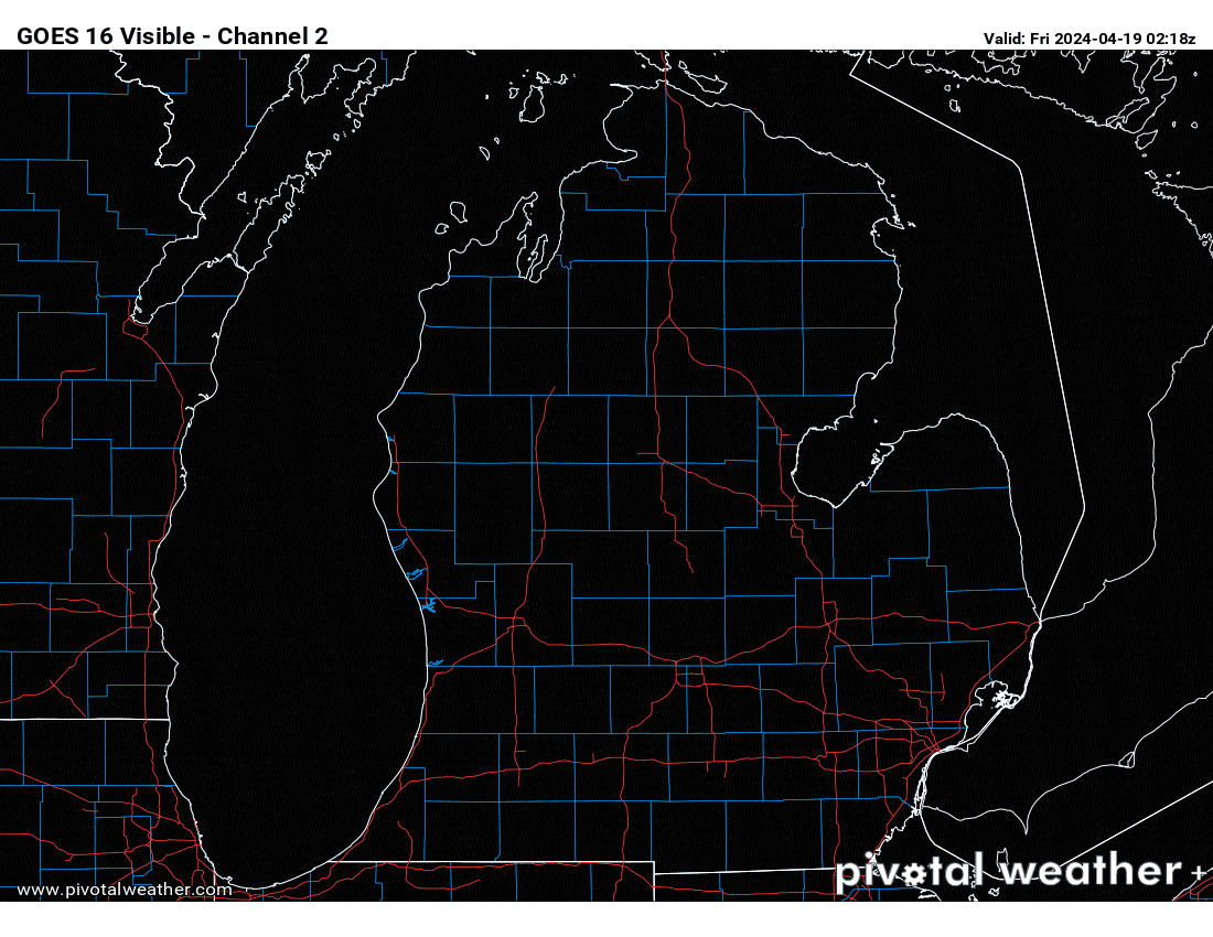
 Midwest Visible Satellite |
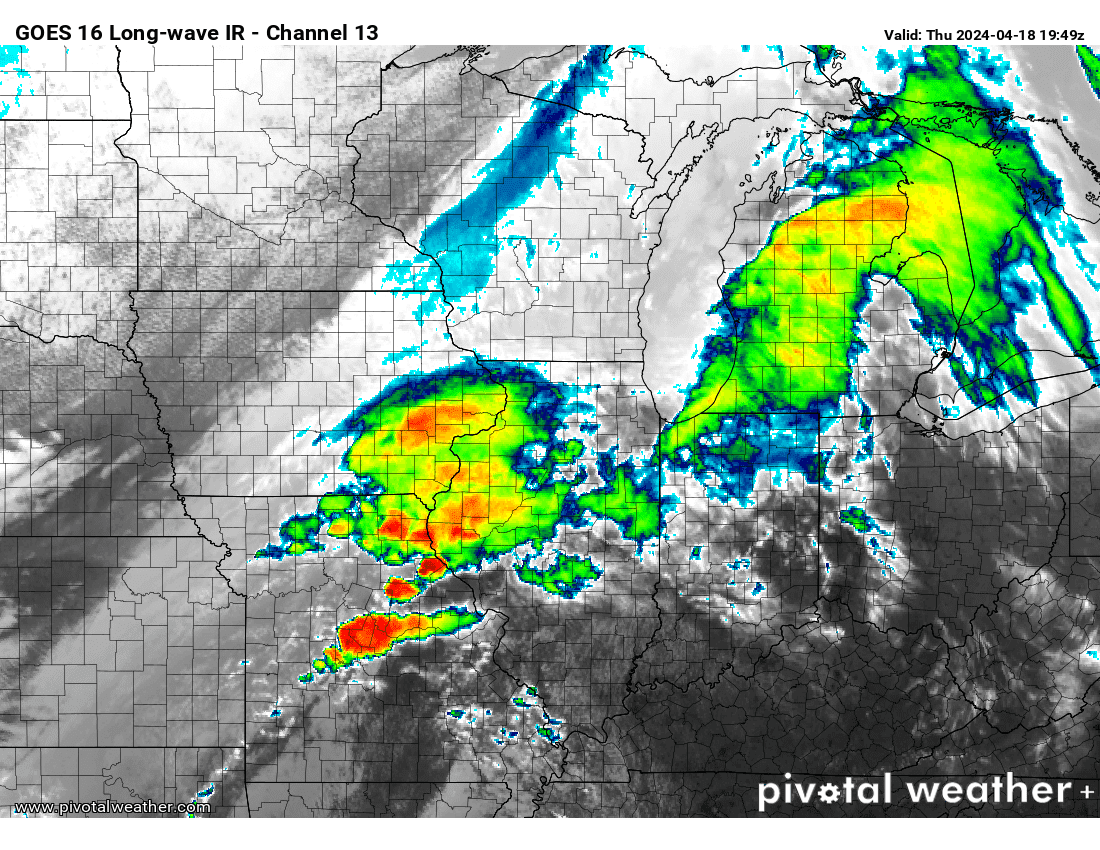 Midwest Infrared Satellite |
 Midwest Water Vapor Satellite |
 LP Michigan Visible Satellite |
Upper Air Observations / Analysis
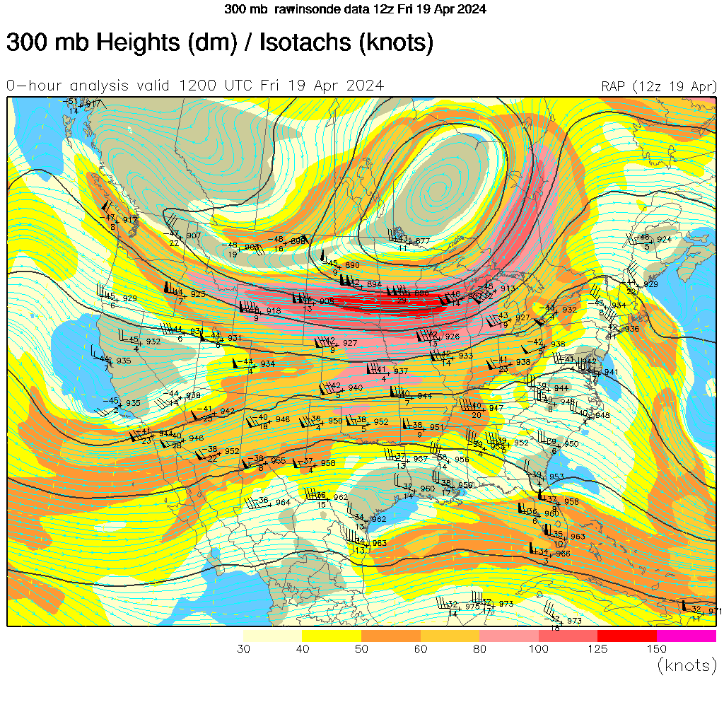 CONUS 300mb Analysis |
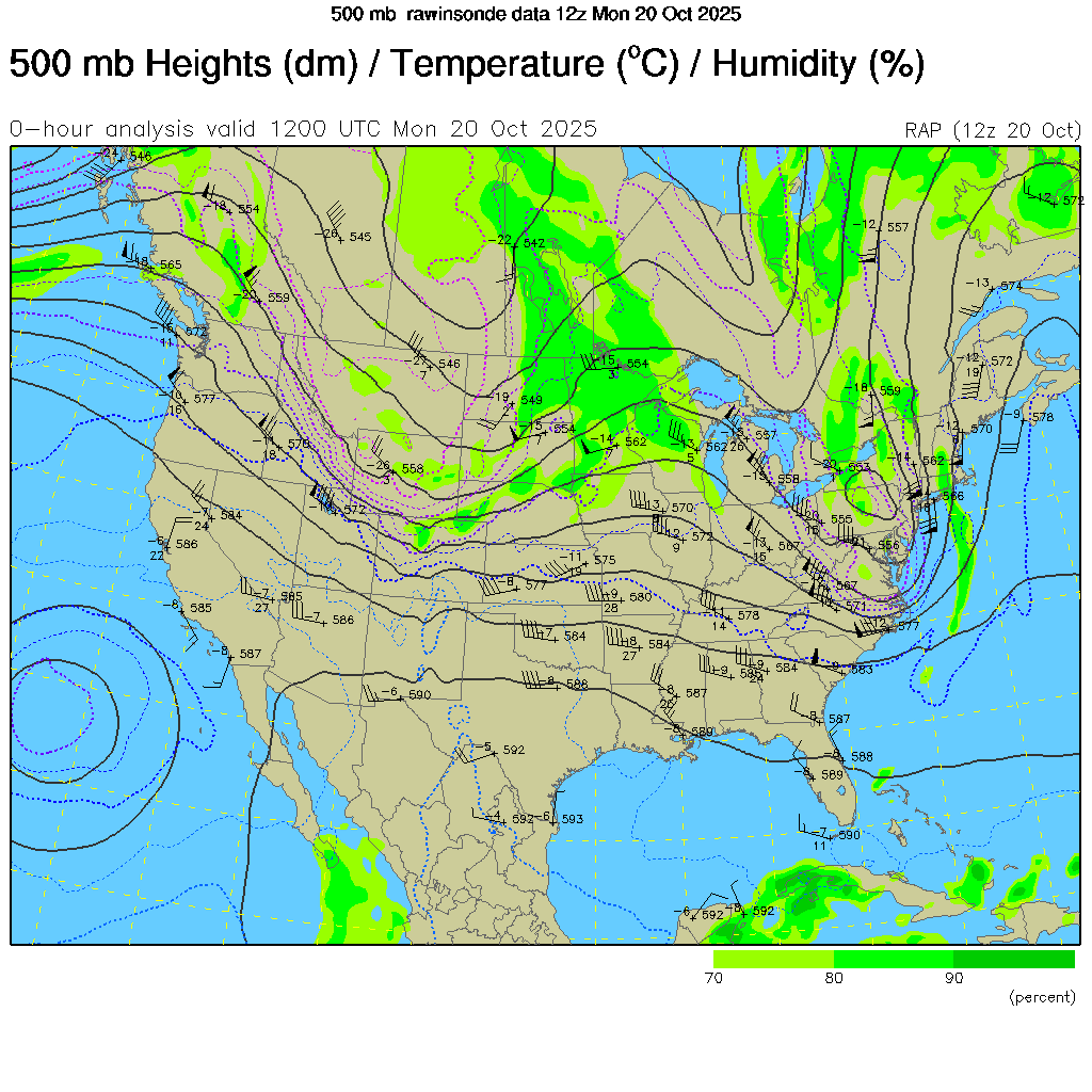 CONUS 500mb Analysis |
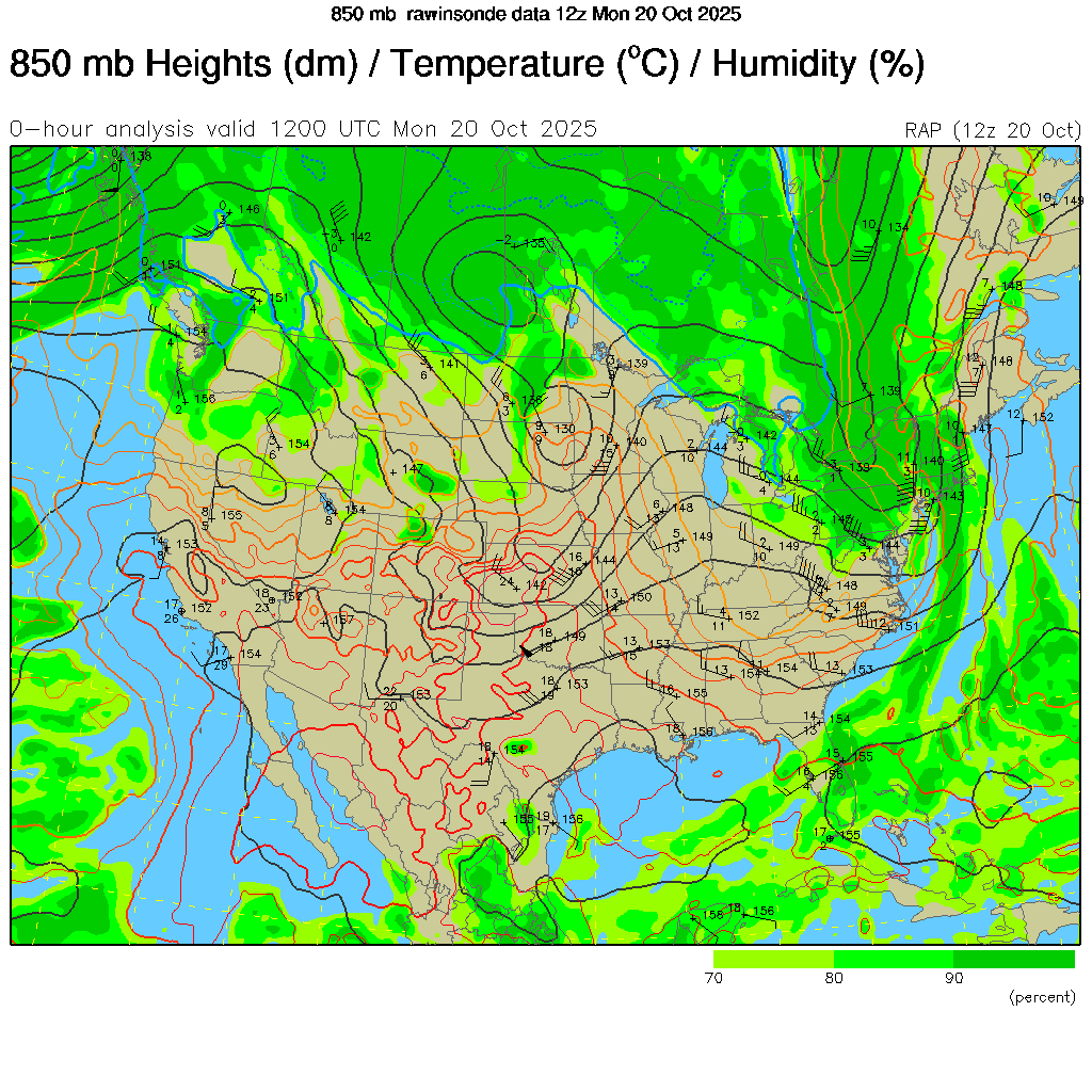 CONUS 850mb Analysis |
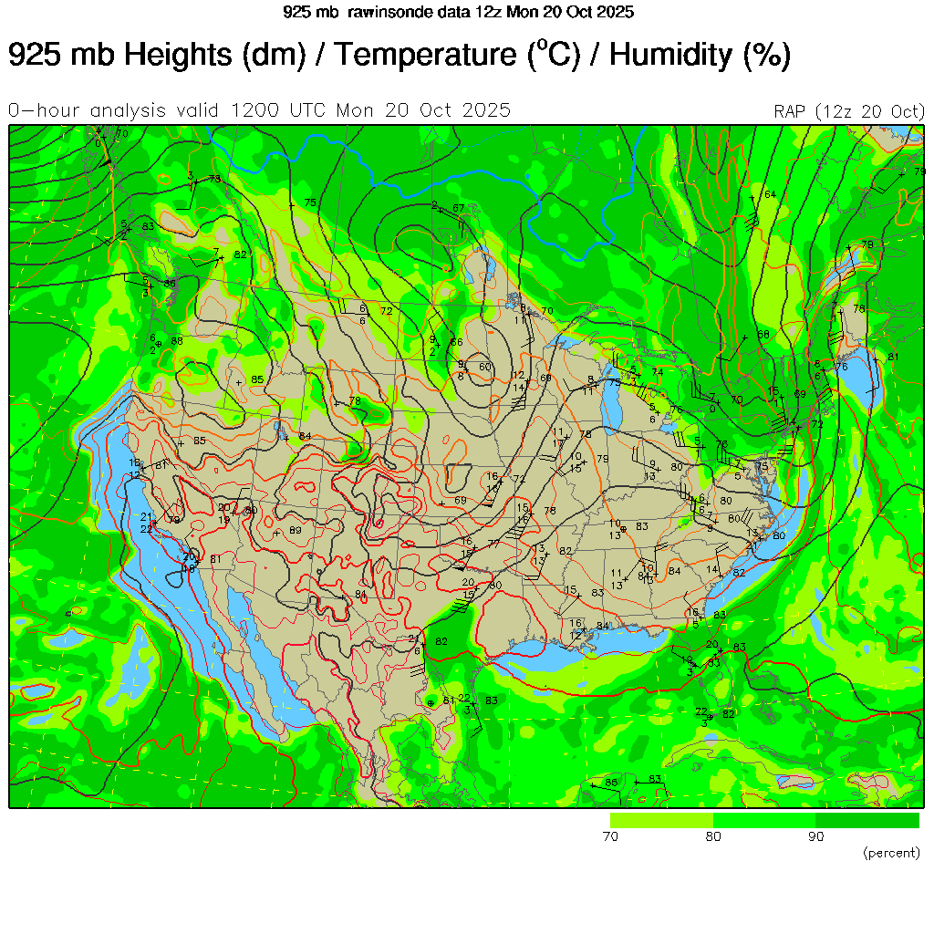 CONUS 925mb Analysis |
 Enviro-Canada 250mb Analysis |
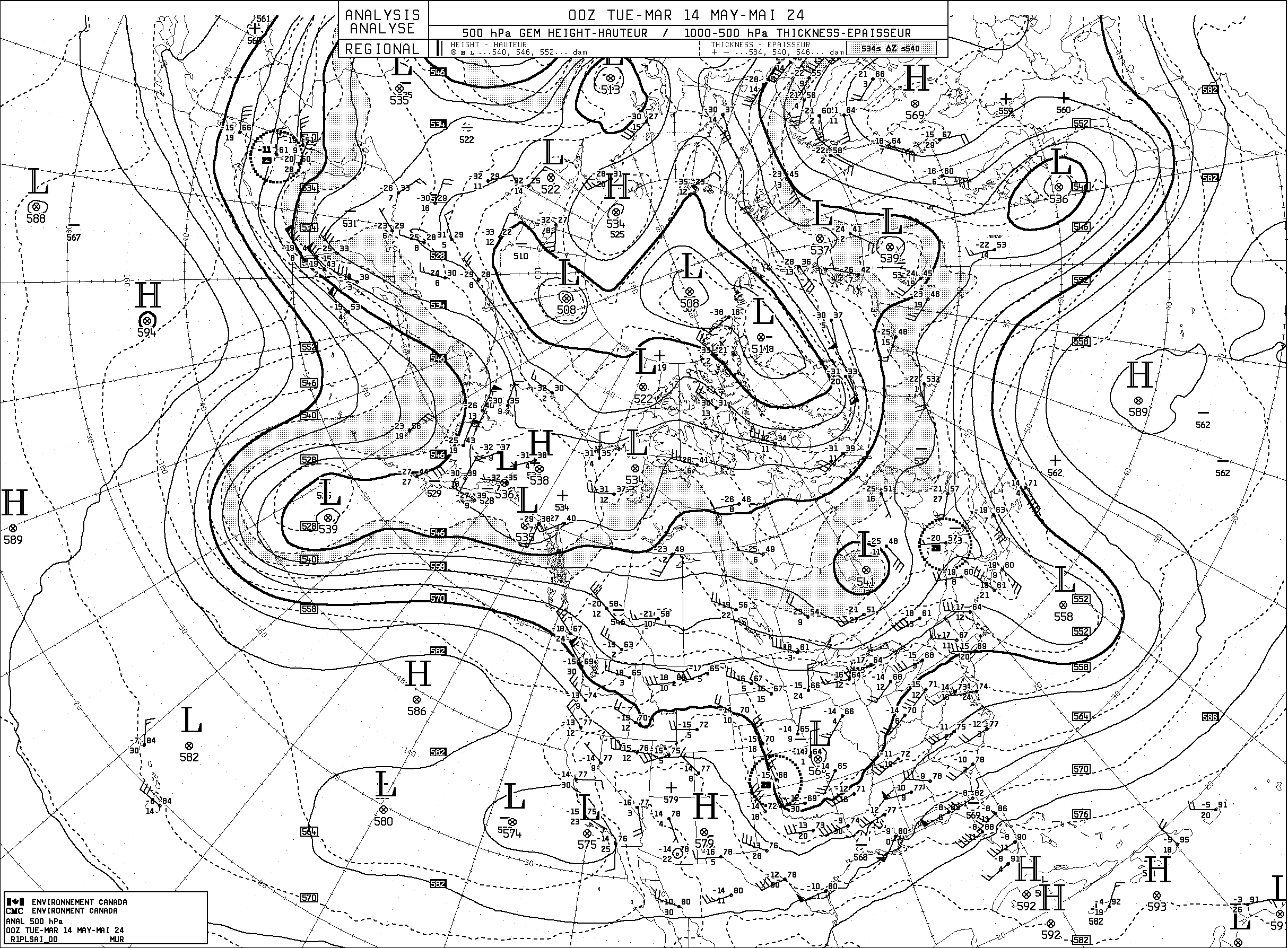 Enviro-Canada 500mb Analysis |
 Enviro-Canada 700mb Analysis |
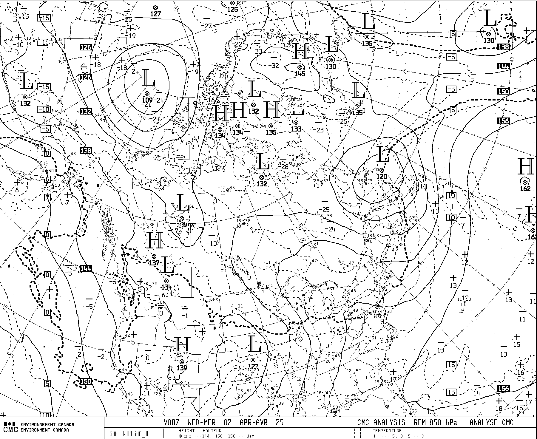 Enviro-Canada 700mb Analysis |
Great Lakes Region Upper Air Soundings
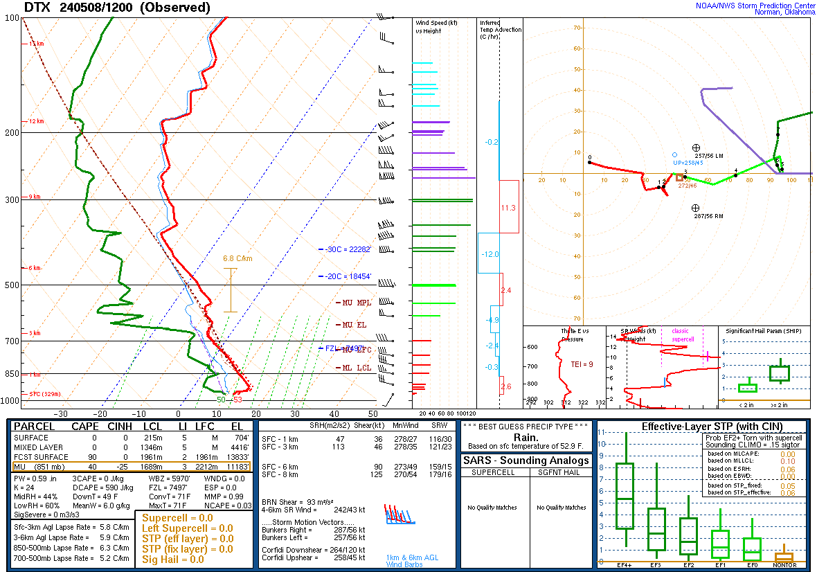 Latest DTX Observed Sounding |
 Latest DVN Observed Sounding |
 Latest ILX Observed Sounding |
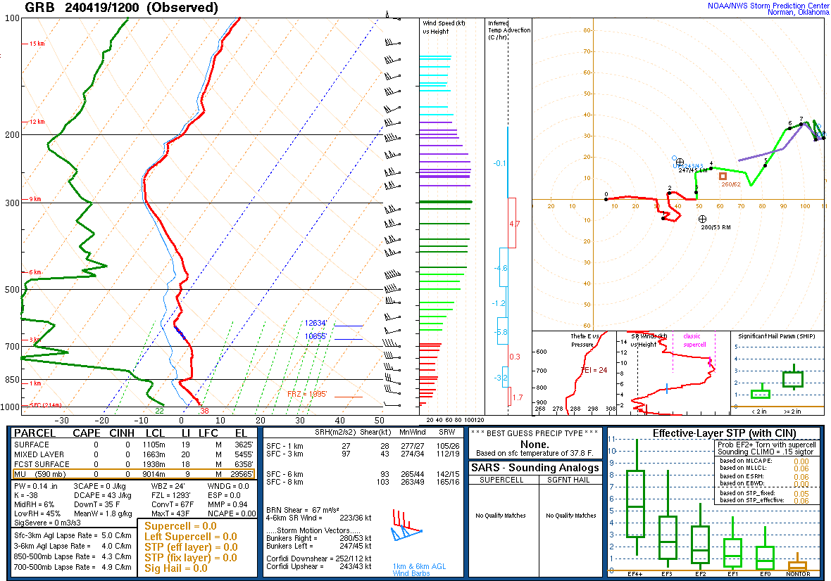 Latest GRB Observed Sounding |
||||||||||||||||||||||||||||||||||||||||||||||||||||||||||||||||||||||||||||||||||||||||||||||||||||||||||||||||||||||||||||||||||||||||
 Latest APX Observed Sounding |
 Latest INL Observed Sounding |
 Latest ILN Observed Sounding |
 Latest MPX Observed Sounding |
Michigan and Great Lakes Region Webcams
Mount Pleasant and area MDOT Traffic Cameras
 US-127 at Chippewa River, Mount Pleasant Mi |
 US-127 at M-20, Mount Pleasant Mi |
 US-127 at Deerfield Rd, Mount Pleasant Mi |
 US-127 at US-10, Clare Mi |
 I-75 at US-10, Saginaw Mi |
 US-131 at US-10, Reed City Mi |
Mackinac Bridge Webcams
 I-75 at the Mackinac Bridge, Mackinaw City Mi – Looking North |
 I-75 at the Mackinac Bridge, St Ignace Mi – Looking South |
Great Lakes Webcams
 Muskegon Webcam – lake Michigan |
 Chicago Webcam – Lake Michigan |
 South Haven Webcam – lake Michigan |
 Alpena Webcam – Lake Huron |
Storm Prediction Center
Day One
 Day One Convective Outlook Go to Day One Outlook Page |
 Day One Tornado Probability Outlook |
 Day One Wind Probability Outlook |
 Day One Hail Probability Outlook |
Day Two
 Day Two Convective Outlook Go to Day Two Outlook Page |
 Day Two Tornado Probability Outlook |
 Day Two Wind Probability Outlook |
 Day Two Hail Probability Outlook |
Day Three
 Day Three Convective Outlook Go to Day Three Outlook Page |
 Day Three Categorial Outlook |
Day 4-8 & Day One Fire
 Day 4-8 Convective Outlooks Go to Day 4-8 Outlooks Page |
 Day One Fire Weather Outlook Go to Day One Fire Outlooks Page |
SPC Alert Products
 SPC Watches in-effect Click Here for Watch Details |
 SPC Mesoscale Dis. in-effect Click Here for MD Details |
Storm Reports
 Today’s Storm Reports |
 Yesterday’s Storm Reports |
Latest SPC Severe Weather Climate Data for 2020
 All 2020 Filtered Storm Reports |
 All 2020 Filtered Tornado Reports |
 All 2020 Filtered Severe Wind Reports |
 All 2020 Filtered Severe Hail Reports |
 2020 Total Filtered Storm Reports by Day |
 2020 Total Filtered Tornado Reports by Day |
Great Lakes Analysis Maps
 Great Lakes Surface AIR Temp Analysis |
 Great Lakes Surface WATER Temp Analysis |
 Great Lakes Surface Wind Analysis |
 Great Lakes Surface Wave Analysis |
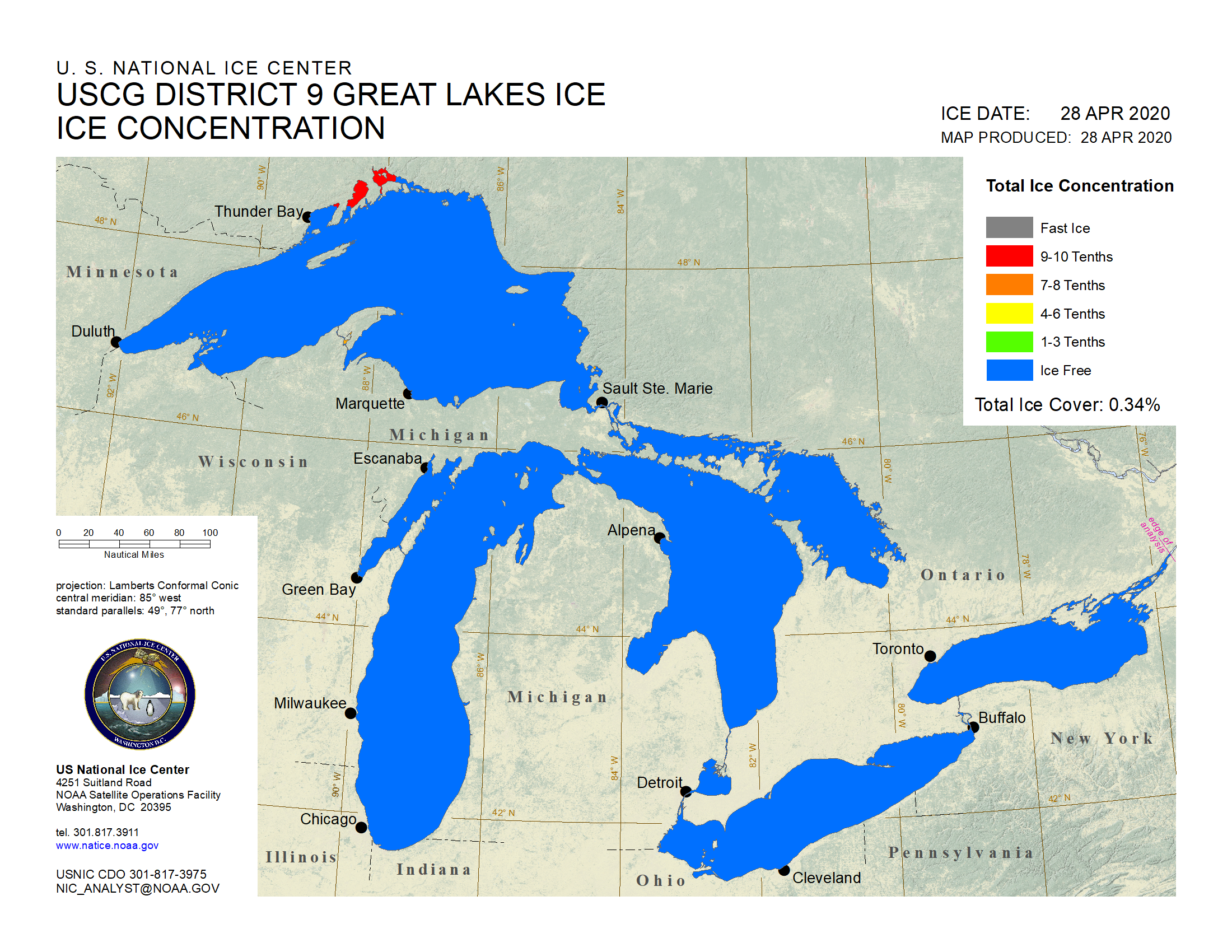 (GLSEA) Great Lakes Ice Concentration |
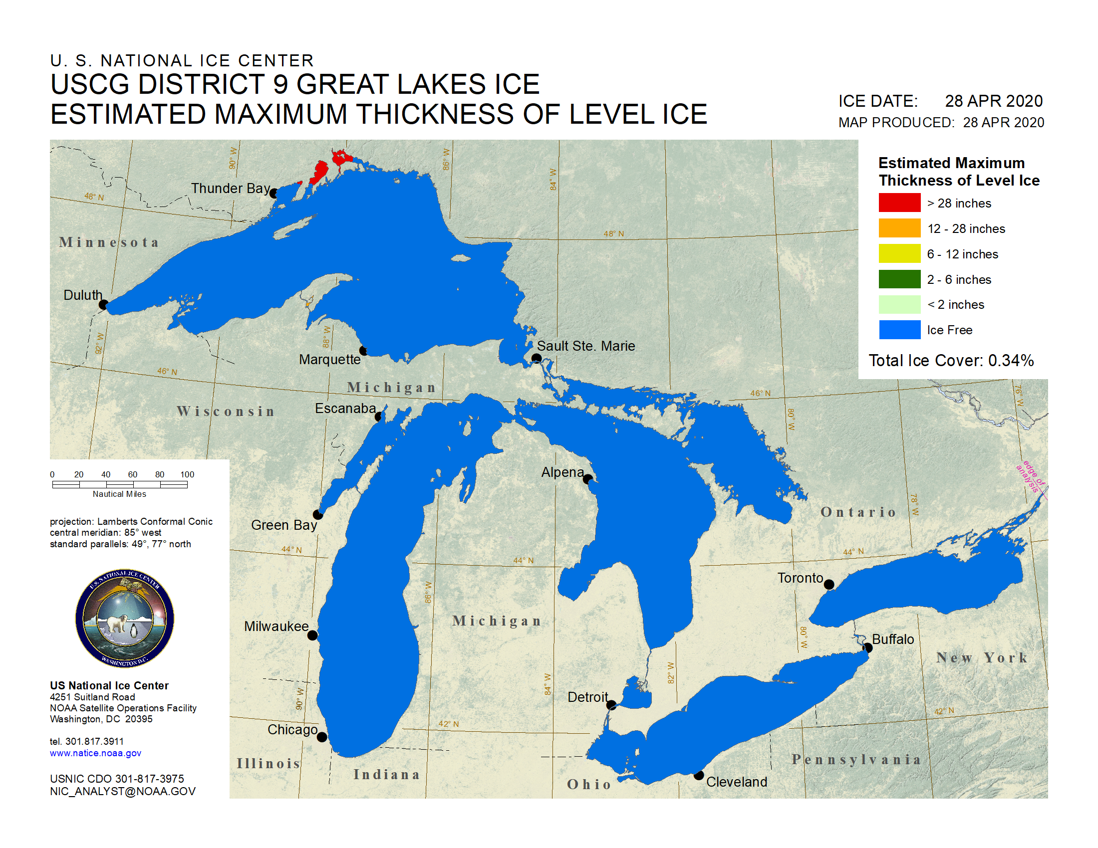 (GLSEA) Great Lakes Ice Thickness |
Great Lakes Water Level Data
 Lake Superior Water Level Analysis |
 Michigan-Huron Water Level Analysis |
 lake Erie Water Level Analysis |
 Lake Ontario Water Level Analysis |
Weather Prediction Center Forecasts
 WPC Day One QPF |
 WPC Day Two QPF |
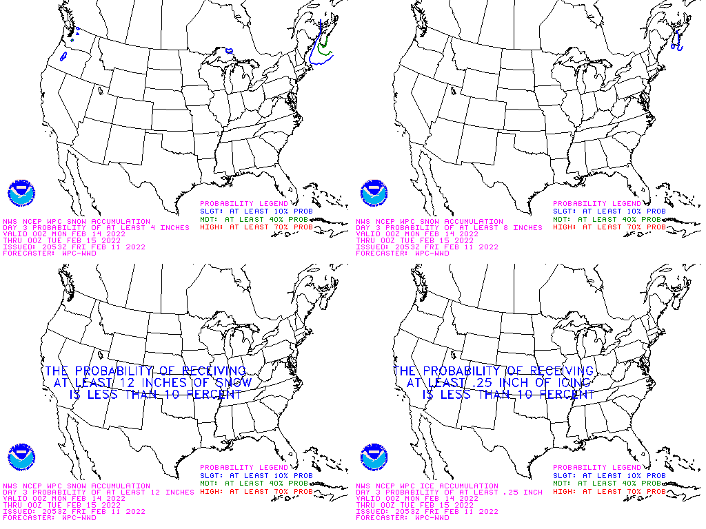
 WPC Day Three QPF |
 WPC Day 4 QPF |
 WPC Day 1-2 Total QPF |
 WPC Day 1-3 Total QPF |
 WPC Day 1-5 Total QPF |
 WPC Day 1-7 Total QPF |
 WPC Day 1 Excessive Rain Outlook |
 WPC Day 2 Excessive Rain Outlook |
 WPC Day 3 Excessive Rain Outlook |
 WPC Surface Fronts Forecast |
Meteogram Forecasts
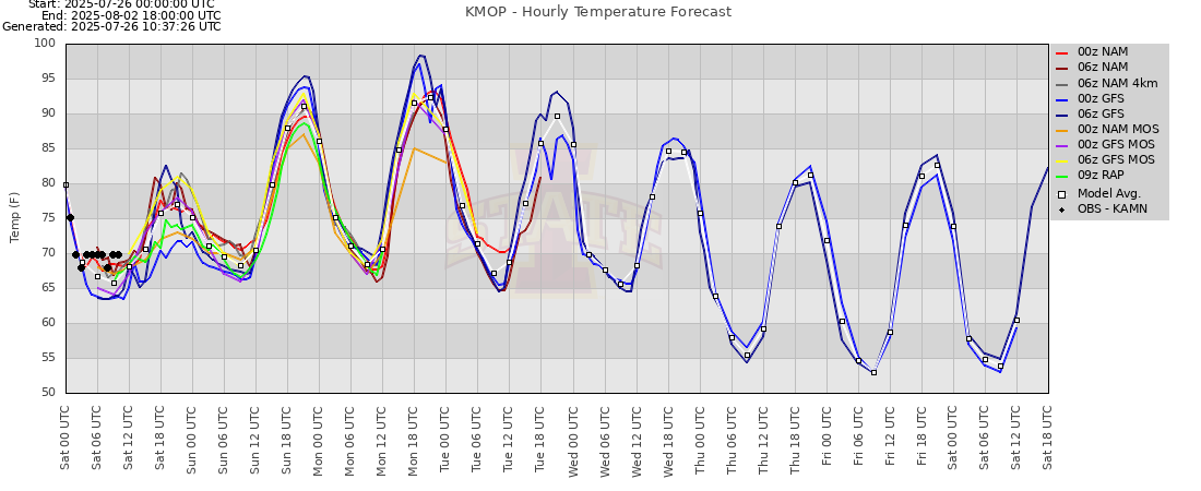 KMOP Temperature Meteogram (Courtesy IaState) |
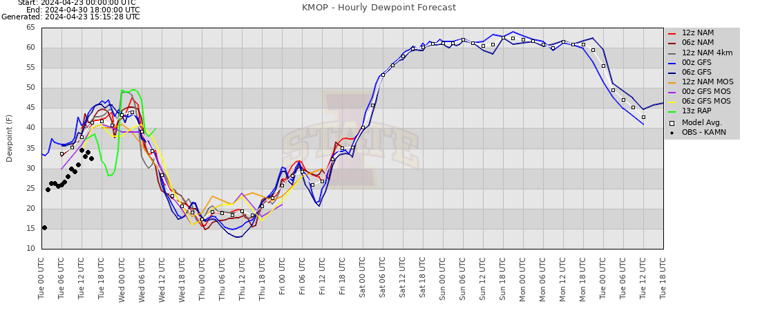 KMOP Dewpoint Meteogram (Courtesy IaState) |
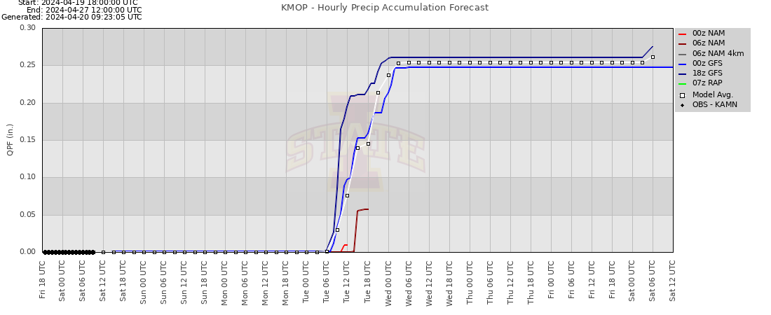 KMOP Precip Accumulation (Courtesy IaState) |
 KMOP Snow Accumulation (Courtesy IaState) |
 KMOP Wind Speed Meteogram (Courtesy IaState) |
 KMOP Wind Direction Meteogram (Courtesy IaState) |
Climate Prediction Center Extended Outlooks
 6-10 Day Temperature Outlook |
 6-10 Day Precipitation Outlook |
 8-14 Day Temperature Outlook |
 8-14 Day Precipitation Outlook |
 3-4 Week Temperature Outlook |
 3-4 Week Precipitation Outlook |
 One Month Temperature Outlook |
 One Month Precipitation Outlook |
 3 Month Temperature Outlook |
 3 Month Precipitation Outlook |
 US Drought Monitor |
 One Month Drought Outlook |
National Hurricane Center / Ocean Prediction Center
National Hurricane Center Outlooks
 NHC Latest Western Atlantic Outlook |
 NHC Latest Tropical Pacific Outlook |
National Hurricane Center Ocean Analysis Products
 7 Day Renolds Sea Surface Temperature Analysis (W Atlantic) |
 7 Day Renolds Sea Surface Temperature Analysis (E Pacific) |
 GFS Analysis Atlantic 24hr Pressure Change |
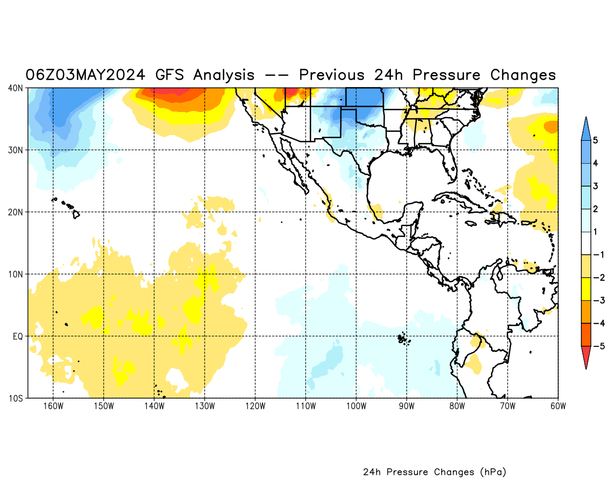 GFS Analysis Pacific 24hr Pressure Change |
Ocean Prediction Center Analysis and Forecasts
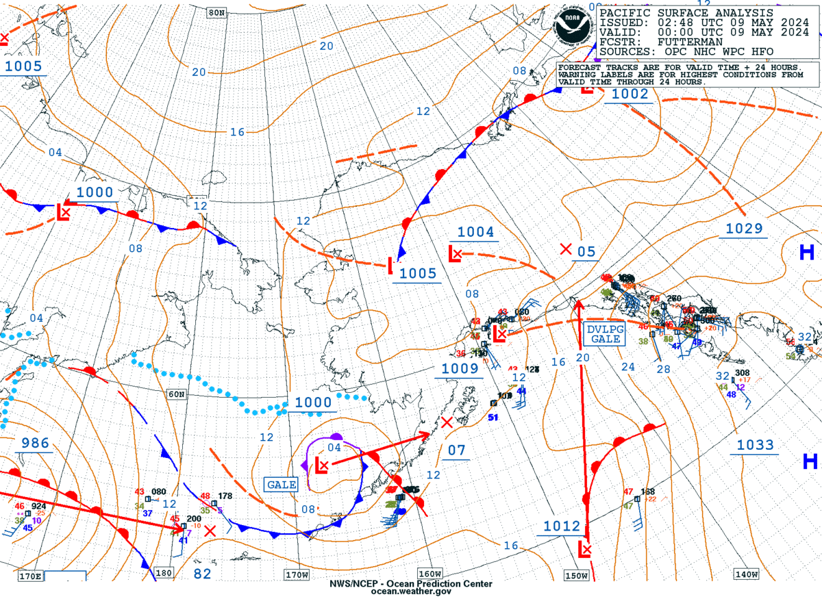
 OPC Pacific Ocean Analysis |
 OPC Atlantic Ocean Analysis |
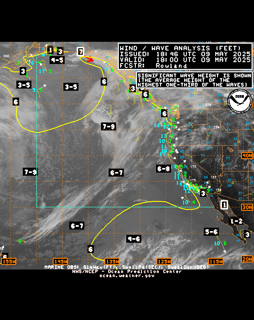 OPC Pacific Wind/Wave Analysis |
 OPC Atlantic Wind/Wave Analysis |
 OPC N Pacific/Alaska/Artic Ocean Analysis |
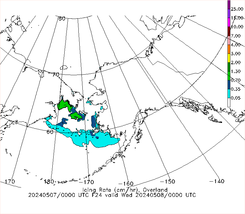 OPC 24hr Freezing Spray Guidence (icing rate) |
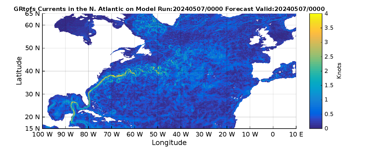 GRtofs Atlantic Currents Model Analysis 00hr |
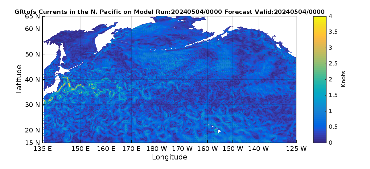 GRtofs North Pacific Currents Model Analysis 00hr |
Winter Weather Forecast Products
 Day 1 Winter Wx Composite Map |
 Day 2 Winter Wx Composite Map |
 Day 3 Winter Wx Composite Map |
 1000-500mb Thickness (m) |
 Ensemble Low Pressure Center & Tracks |
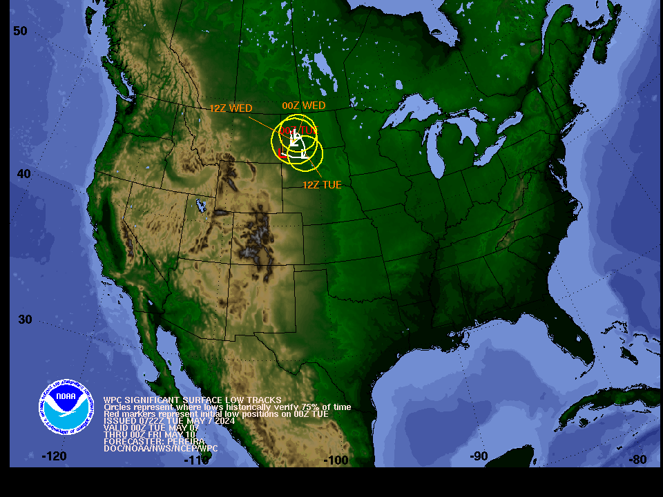 WPC Forecast Significant Low Pressure Track |
Iowa State Winter-Related Meteograms
| METEOGRAM Snowfall Acccumulation |
 METEOGRAM Frz Rn Accumulation |
National Weather Service Snowfall Forecast
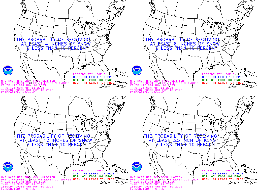
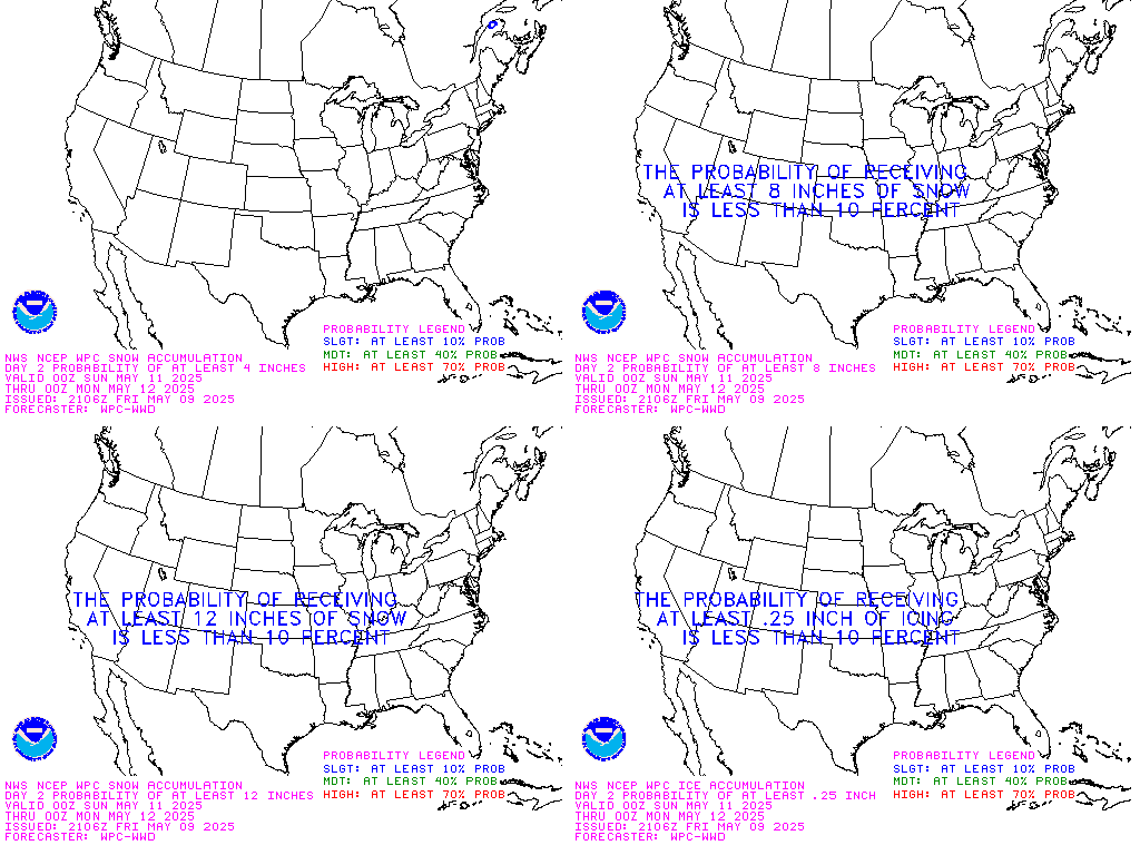
 NWS 6hr Snowfall Forecast |
 NWS 24hr Snowfall Forecast |
 NWS 24hr Snowfall Forecast |
 NWS CONUS 24hr Snowfall Forecast |
National Weather Service Ice Accum Forecast
 NWS 6hr Ice Accumulation Forecast |
 NWS 24hr Ice Accumulation Forecast |
WPC Winter Storm Severity Index Forecast
 Day 1 WPC WSSI |
 Day 2 WPC WSSI |
 Day 3 WPC WSSI |
 Day 1-3 WPC WSSI |
Winter Weather Analysis Products
 24 Hour MI Snowfall Accumulation |
 48 Hour MI Snowfall Accumulation |
 72 Hour MI Snowfall Accumulation |
 24 Hour CONUS Snowfall Accumulation |
 48 Hour CONUS Snowfall Accumulation |
 72 Hour CONUS Snowfall Accumulation |
 6 Hour CONUS Precip Accumulation |
 CONUS Seasonal Snowfall Accumulation |
Misc Winter Products
 NAMER Ice Coverage |
 GLERL Ice Coverage |
 Today’s Frost / Freeze |
 Tomorrow’s Frost / Freeze |
Misc Products
 Michigan Day 1 Convective Outlook |
 Michigan Day 2 Convective Outlook |
 Michigan Day 3 Convective Outlook |
 ERTAF – Data may not always be Avaliable |
 Day 1 WPC National Forecast Map |
 Day 2 WPC National Forecast Map |
 Day 3 WPC National Forecast Map |
 Mesoscale Precipitation Discussions |
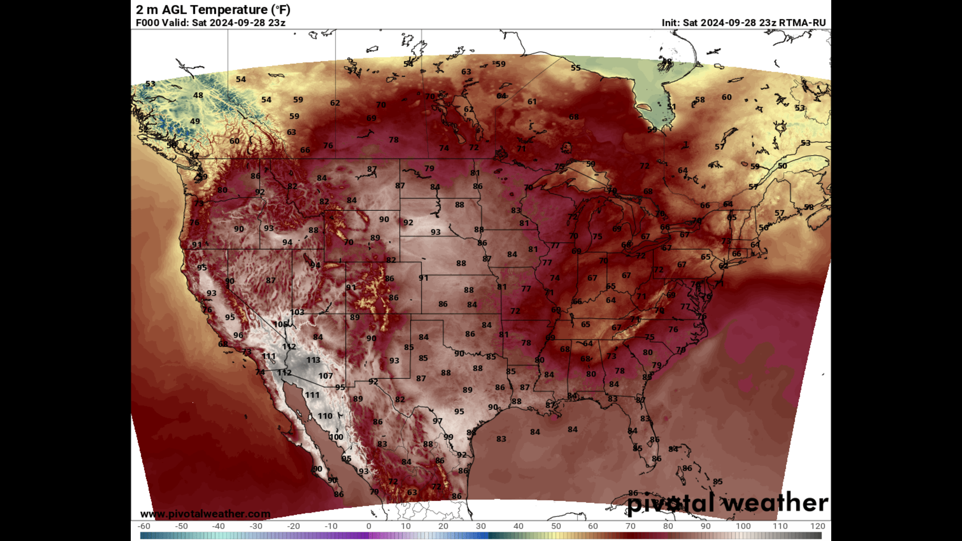 Current Temperature |
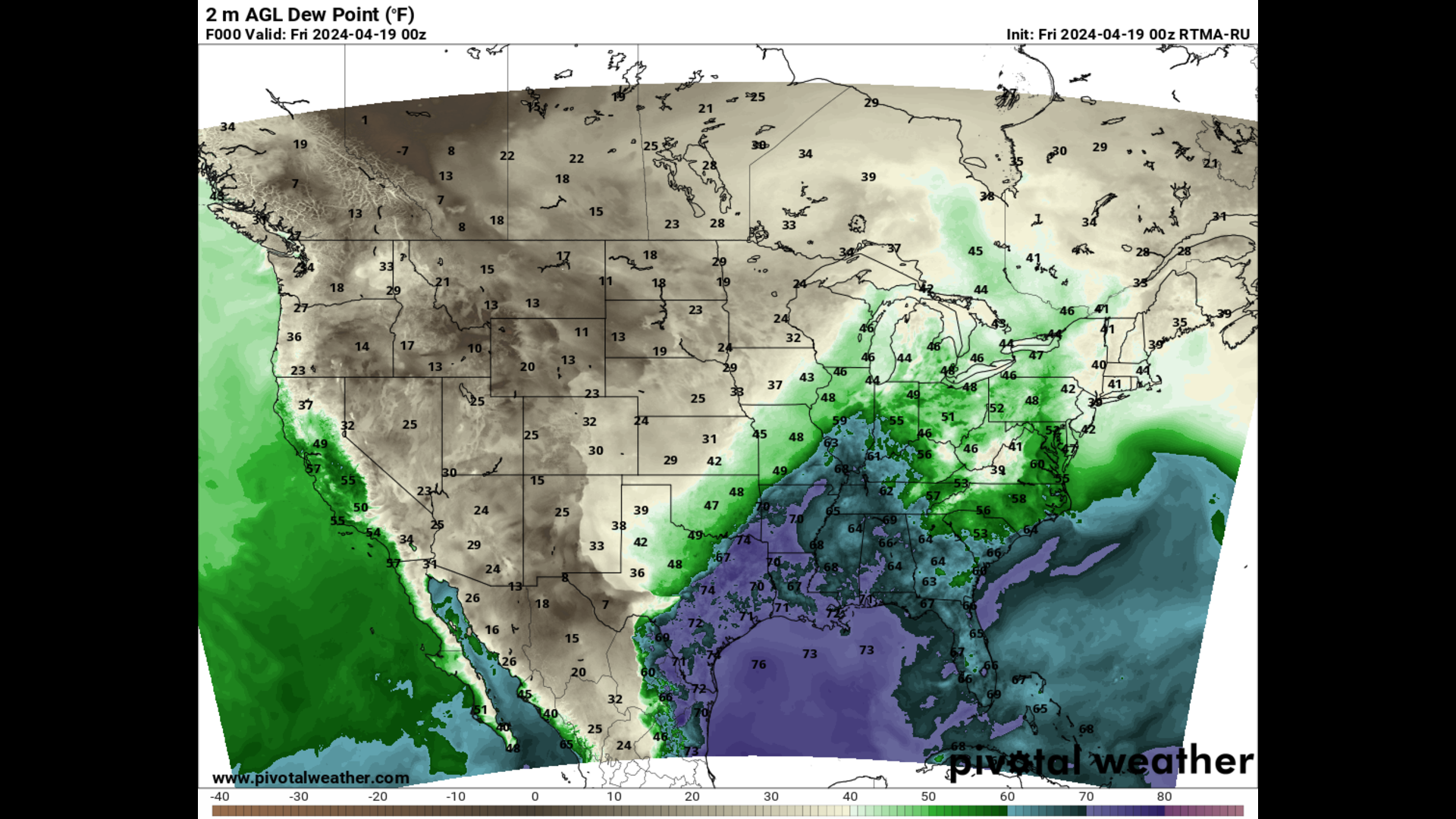 Current Dewpoint |
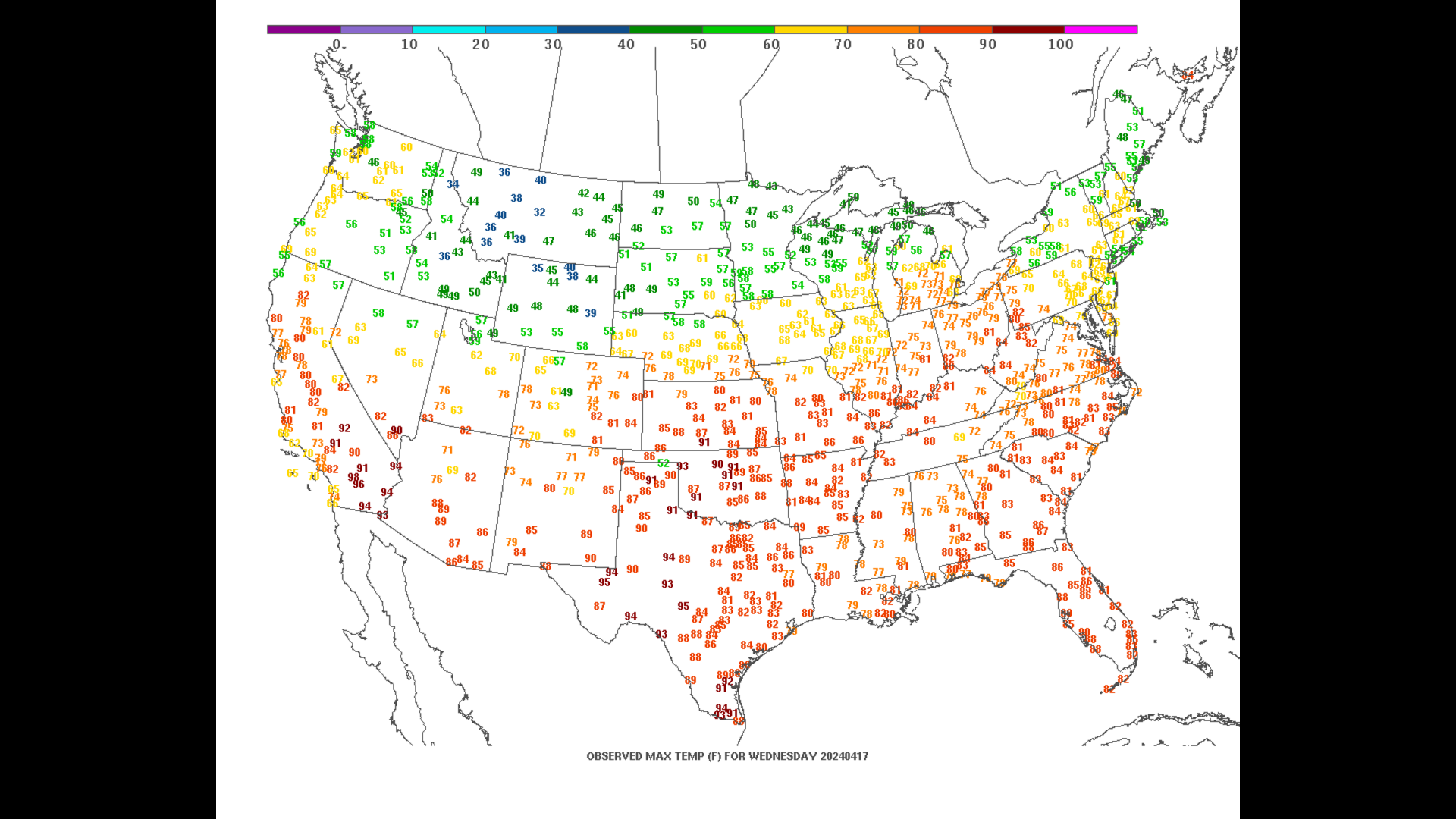 Yesterday’s Max Temperature |
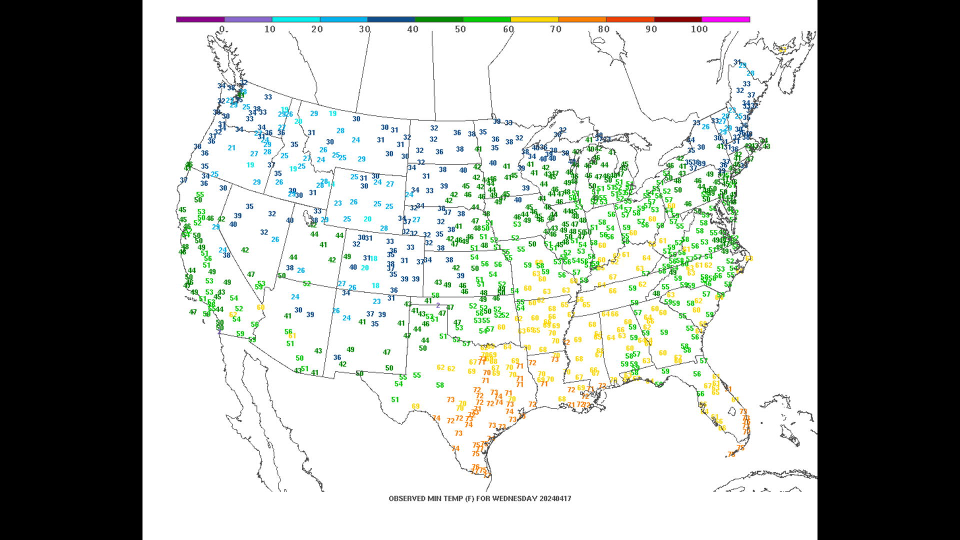 Yesterday’s Mix Temperature |
 CPC 8-14 Day Temp Hazards |
 8-14 Day Precip Hazards |
 8-14 Day Snow Hazards |
 8-14 Day Wind Hazards |
For feedback, questions or comments on this mapwall or page, please contact us by email: cmuweather@gmail.com; or via Twitter @cmuweather.