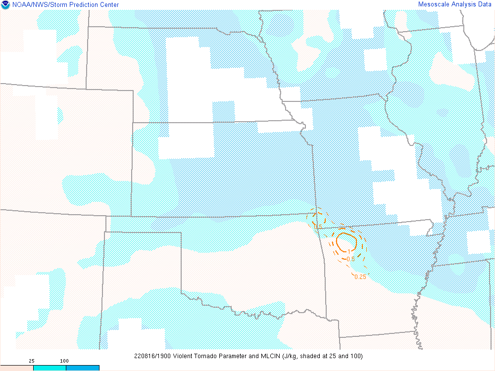
Great tool used by the Storm Prediction Center:
GL/Northeast Observations: . GL/Northeast View Surface Products
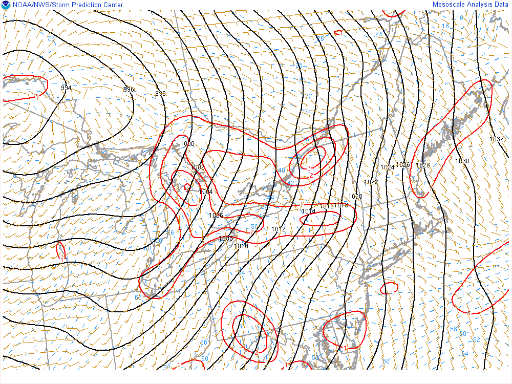
PMSL and Surface Winds:
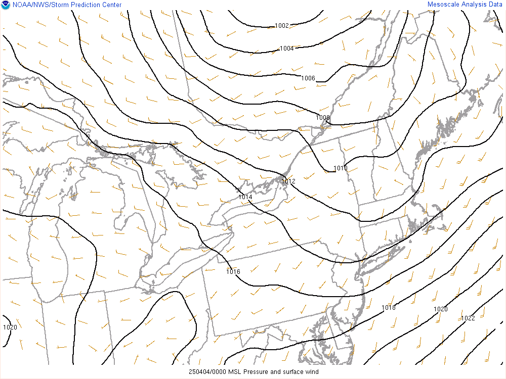
Surface Temp, Wind, Dewpoint:

Surface Moisture Convergence:
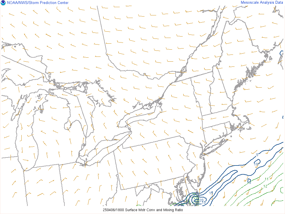
Theta-E Advection:

Surface Mixing Ratio & Theta:

Surface Vorticity and Divergence:
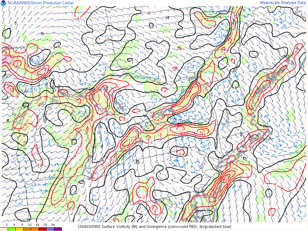
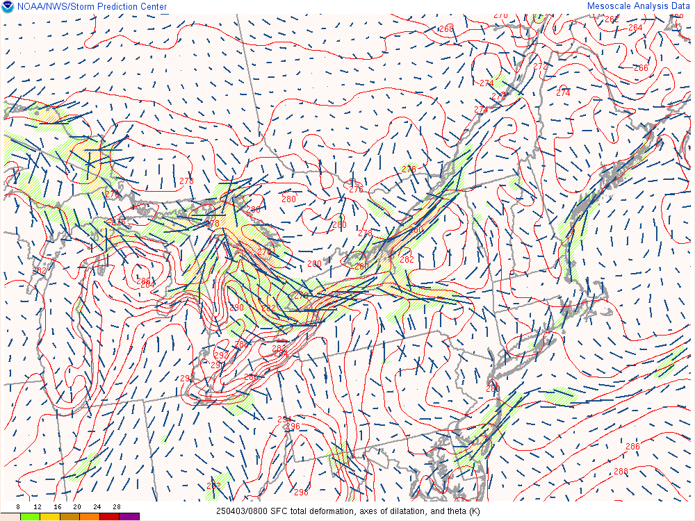
Deformation and Axis of Dilatation:
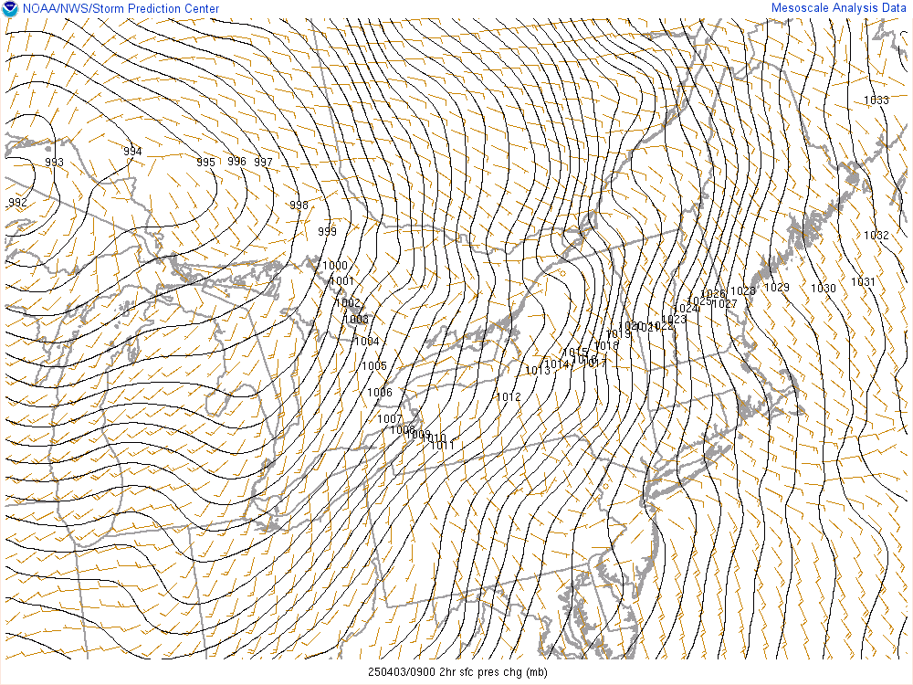
2 Hour Pressure Change:
3 Hour Temperature Change:

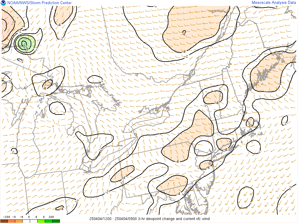
3 Hour Dewpoint Change:
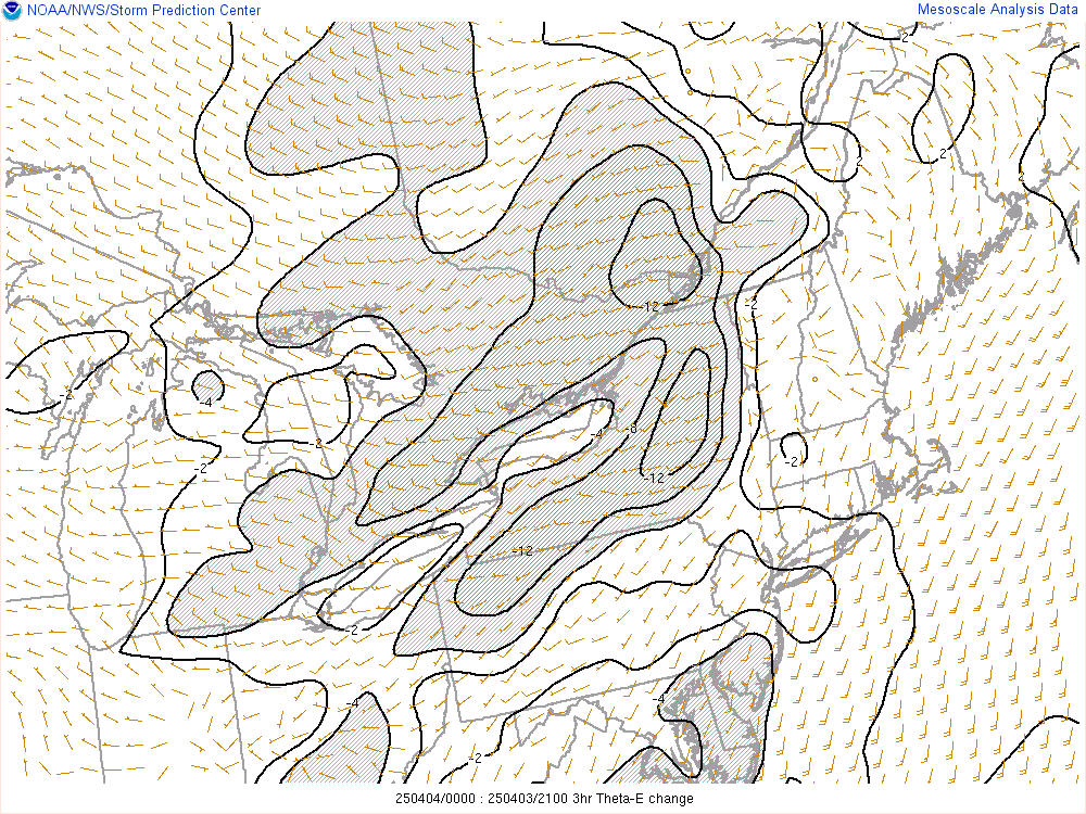
3 Hour Theta-E Change:
.
GL/Northeast View Upper Air
Surface Temp, Wind, Dewpoint:

Surface Moisture Convergence:

Theta-E Advection:

Surface Mixing Ratio & Theta:

Surface Vorticity and Divergence:

Deformation and Axis of Dilatation:

2 Hour Pressure Change:

3 Hour Temperature Change:

3 Hour Dewpoint Change:

3 Hour Theta-E Change:

300mb Analysis:

500mb Analysis:

12 hour 500mb Height Change:

700mb Analysis:

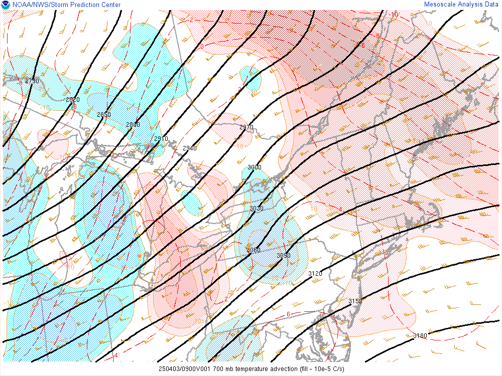
700mb Temperature Advection:
850mb Analysis:

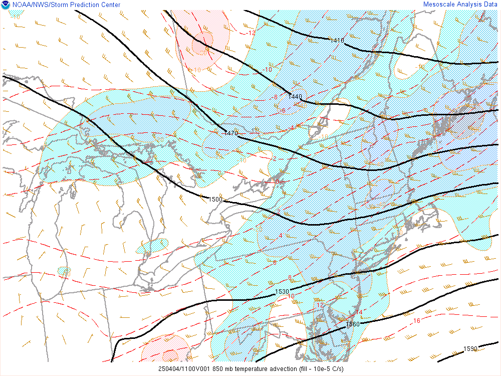
850mb Temperature Advection:
925mb Analysis:

925mb Temperature Advection:

Surface Frontogenesis:
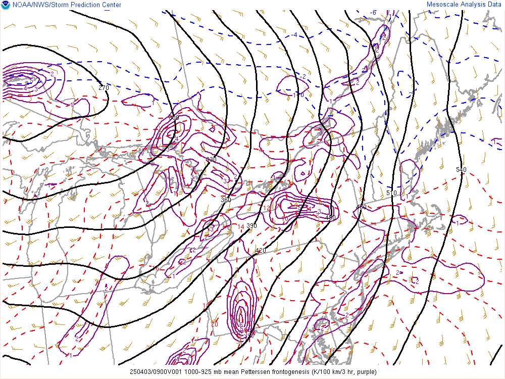
1000-925mb Frontogenesis:
925-850mb Frontogenesis:
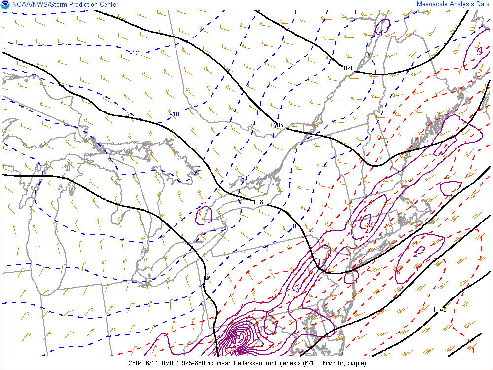
850-700mb Frontogenesis:
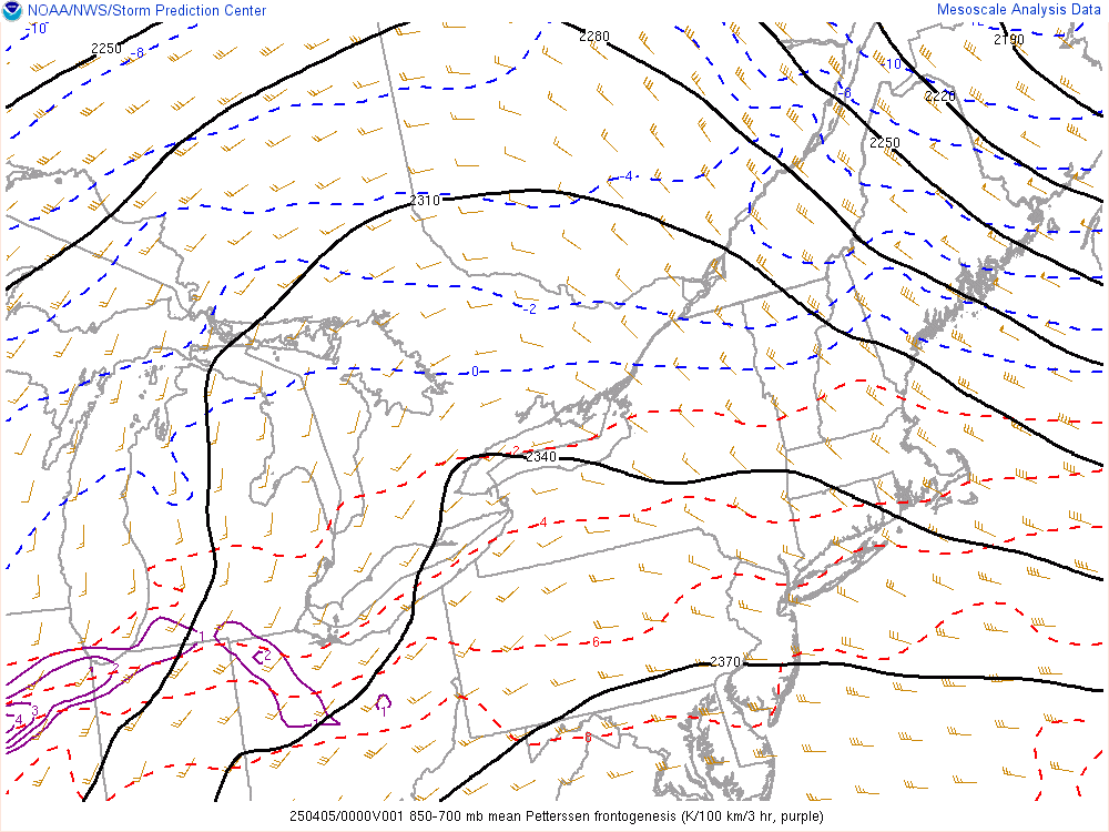
700-500mb Frontogenesis:
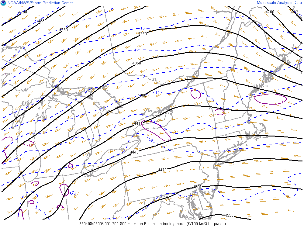
700-400mb Differential Vorticity Advection:

400-250 mb Potential Vorticity Advection:

.
GL/Northeast View Thermodynamics
500mb Analysis:

12 hour 500mb Height Change:

700mb Analysis:

700mb Temperature Advection:

850mb Analysis:

850mb Temperature Advection:

925mb Analysis:

925mb Temperature Advection:

Surface Frontogenesis:

1000-925mb Frontogenesis:

925-850mb Frontogenesis:

850-700mb Frontogenesis:

700-500mb Frontogenesis:

700-400mb Differential Vorticity Advection:

400-250 mb Potential Vorticity Advection:

MLCAPE:
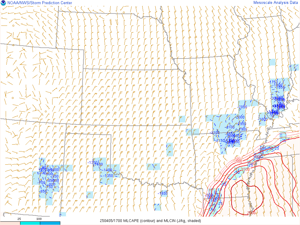
3 hour MLCAPE Change:
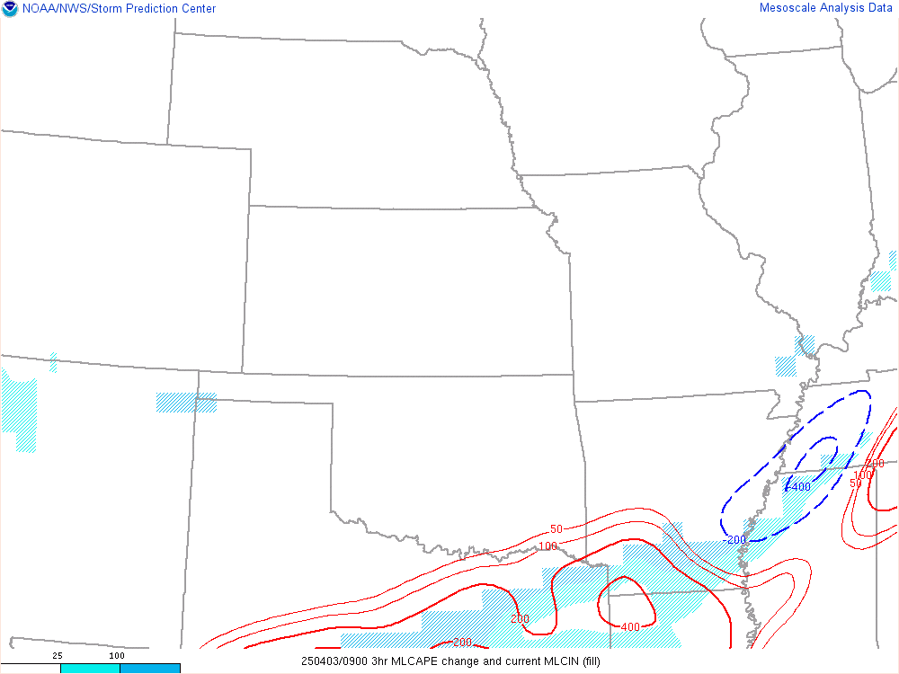
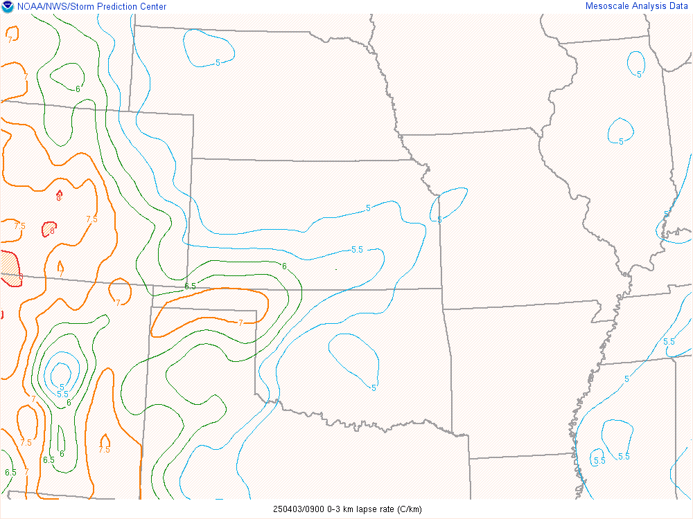
Low level Lapse Rates (0-3km):
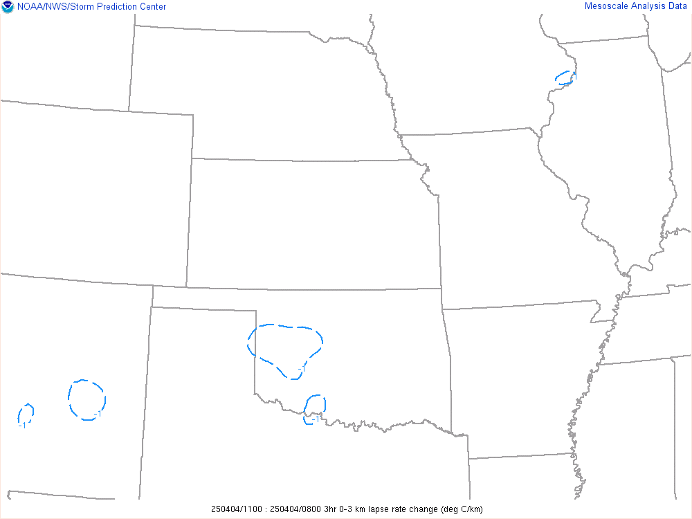
3 hour Low level Lapse Rate Change:
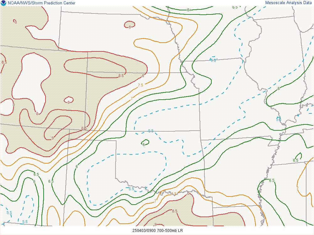
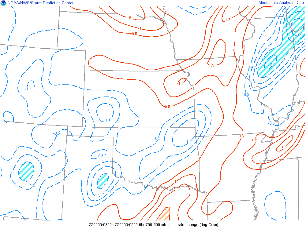
Mid level Lapse Rates (700-500mb):
6 hour Mid level Lapse Rate Change:
LCL Heights:

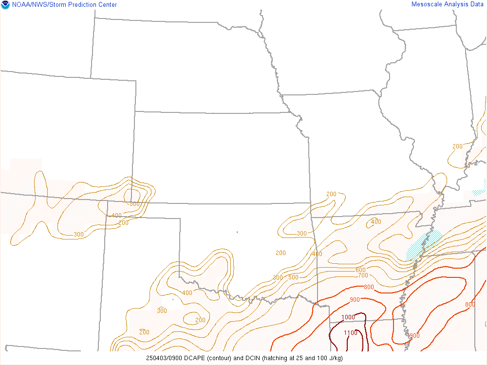
DCAPE:
The DCAPE (Downdraft CAPE) can be used to estimate the potential strength of rain-cooled downdrafts within deep convection, and is similar to CAPE. Larger DCAPE values are associated with stronger downdrafts.
.
GL/Northeast View Wind Shear
3 hour MLCAPE Change:

Low level Lapse Rates (0-3km):

3 hour Low level Lapse Rate Change:

Mid level Lapse Rates (700-500mb):

6 hour Mid level Lapse Rate Change:

LCL Heights:

DCAPE:
The DCAPE (Downdraft CAPE) can be used to estimate the potential strength of rain-cooled downdrafts within deep convection, and is similar to CAPE. Larger DCAPE values are associated with stronger downdrafts.

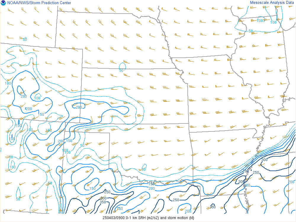
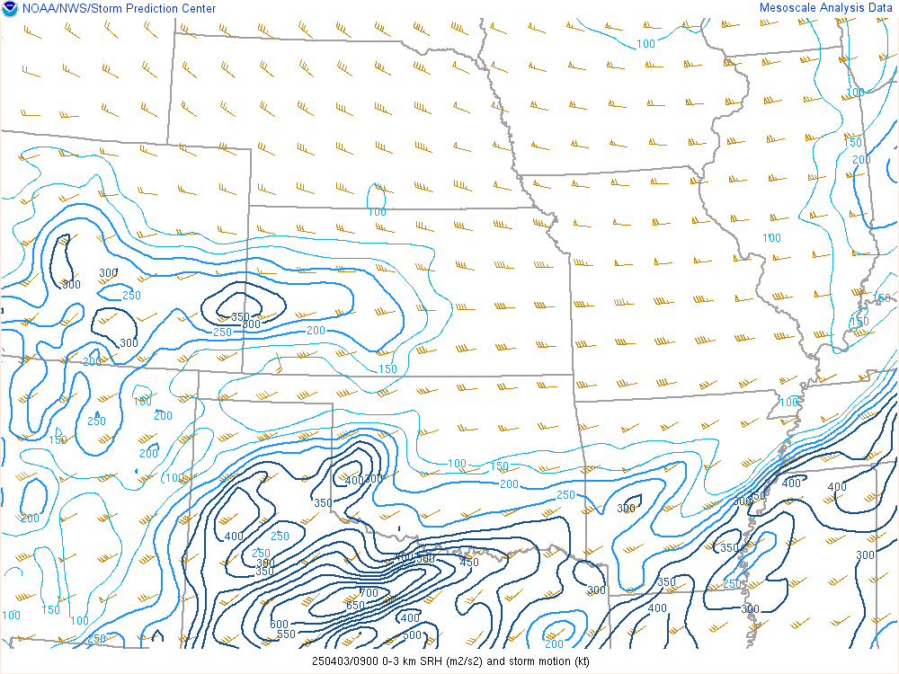
SRH (Storm Relative Helicity) is a measure of the potential for cyclonic updraft rotation in right-moving supercells, and is calculated for the lowest 1-km and 3-km layers above ground level. There is no clear threshold value for SRH when forecasting supercells, since the formation of supercells appears to be related more strongly to the deeper layer vertical shear. Larger values of 0-3-km SRH (greater than 250 m2 s-2) and 0-1-km SRH (greater than 100 m2 s-2), however, do suggest an increased threat of tornadoes with supercells. For SRH, larger values are generally better, but there are no clear thresholds between non-tornadic and significant tornadic supercells.
Surface-1 km SRH:
Surface-3 km SRH:
Surface-6km Bulk Shear:
Supercells are commonly associated with vertical shear values of 35-40 knots and greater through this depth.

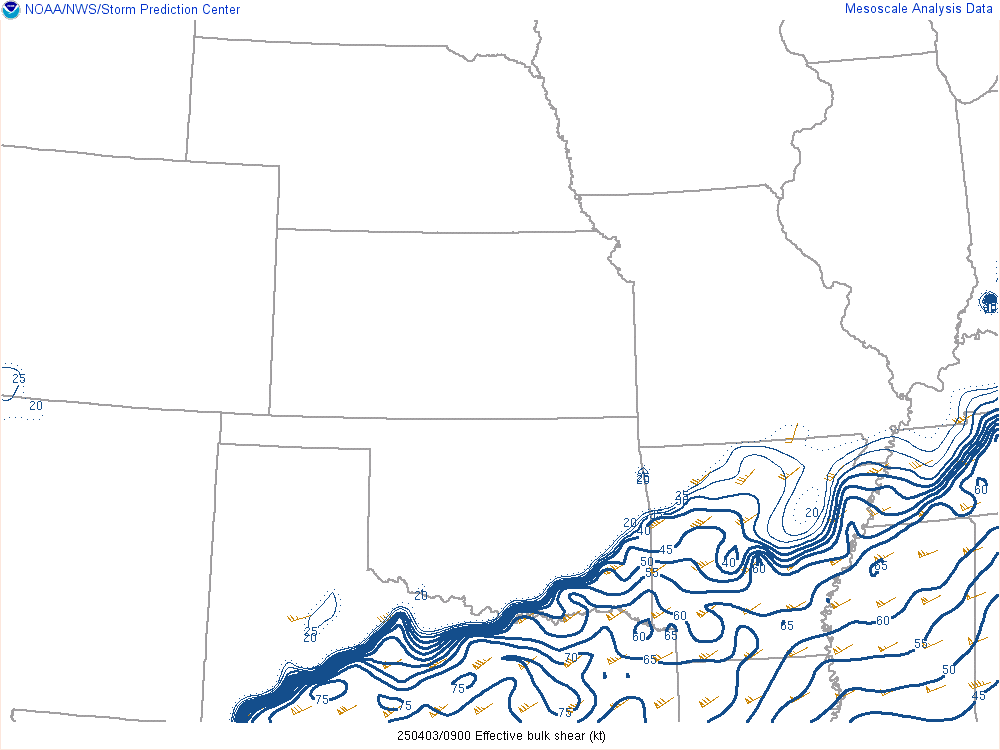
Effective Bulk Shear:
Supercells become more probable as the effective bulk wind difference increases in magnitude through the range of 25-40 kt and greater.
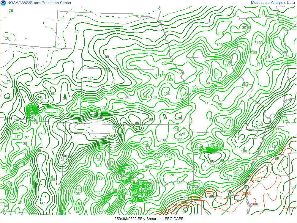
Bulk Richardson Number Shear:
Values of 35-40 m2 s-2 or greater have been associated with supercells.
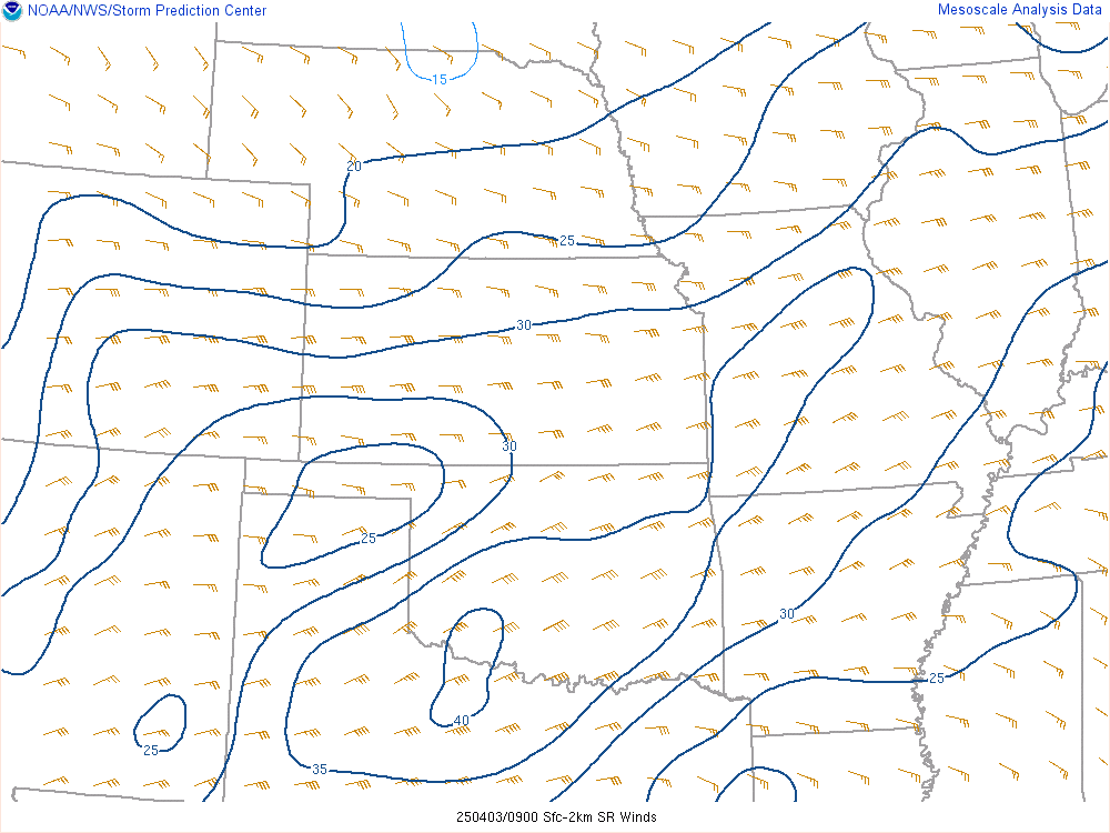
0-2km SR Wind:
Low-Level SR (Storm Relative) winds (0-2-km) are meant to represent low-level storm inflow. The majority of sustained supercells have 0-2-km storm inflow values of 15-20 knots or greater.
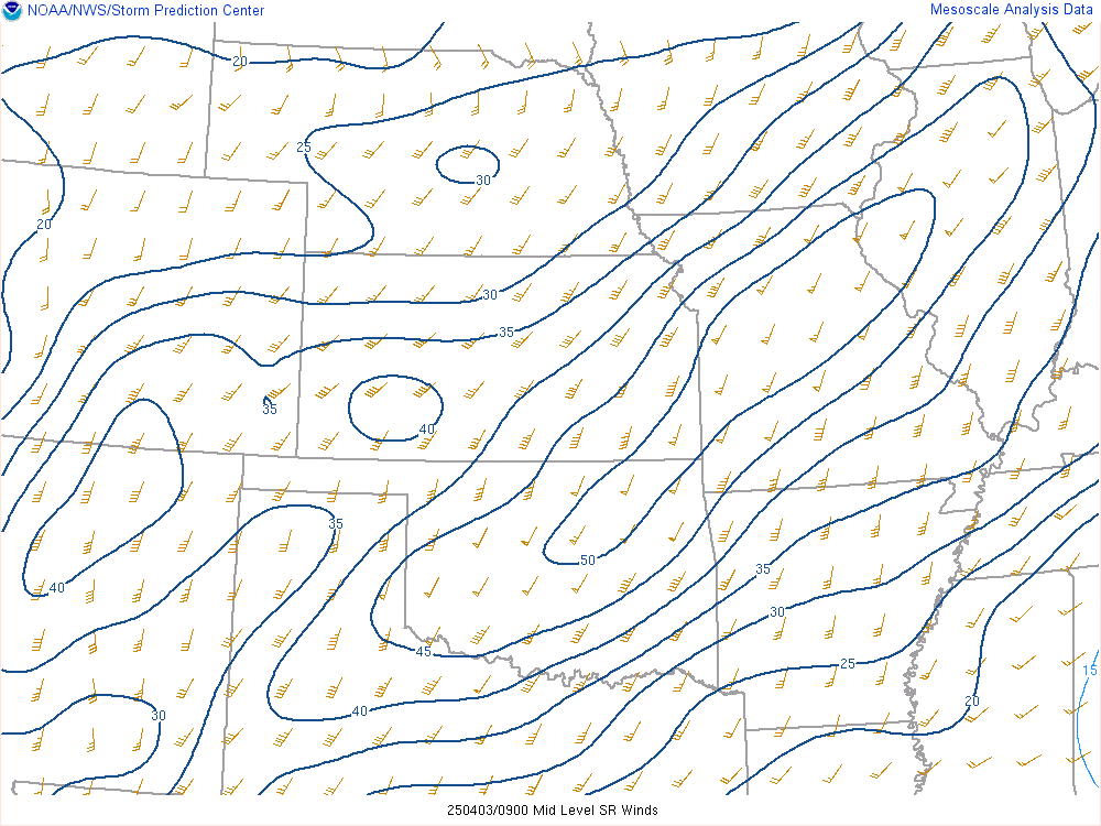
4-6km SR Wind:
Mid-Level SR (Storm Relative) winds (4-6-km) are of some use in discriminating between tornadic and non-tornadic supercells. Tornadic supercells tend to have 4-6-km SR wind speeds in excess of 15 knots, while non-tornadic supercells tend to have weaker mid-level storm-relative winds.
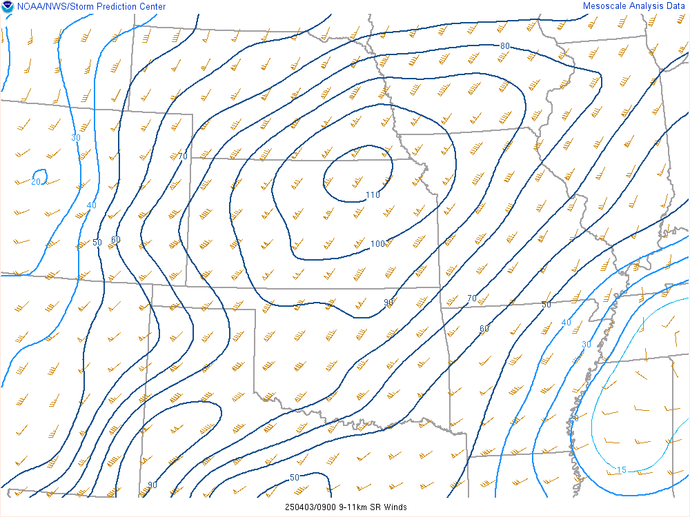
9-11 km SR Wind:
SR winds from 9-11-km are meant to discriminate supercell type. In general, upper-level SR winds less than 40 knots correspond to “high precipitation” supercells, 40-60 knots SR winds denote “classic” supercells, while SR winds greater than 60 knots correspond to “low precipitation” supercells.
.
GL/Northeast View Composite IndicesSurface-1 km SRH:

Surface-3 km SRH:

Surface-6km Bulk Shear:
Supercells are commonly associated with vertical shear values of 35-40 knots and greater through this depth.

Effective Bulk Shear:
Supercells become more probable as the effective bulk wind difference increases in magnitude through the range of 25-40 kt and greater.

Bulk Richardson Number Shear:
Values of 35-40 m2 s-2 or greater have been associated with supercells.

0-2km SR Wind:
Low-Level SR (Storm Relative) winds (0-2-km) are meant to represent low-level storm inflow. The majority of sustained supercells have 0-2-km storm inflow values of 15-20 knots or greater.

4-6km SR Wind:
Mid-Level SR (Storm Relative) winds (4-6-km) are of some use in discriminating between tornadic and non-tornadic supercells. Tornadic supercells tend to have 4-6-km SR wind speeds in excess of 15 knots, while non-tornadic supercells tend to have weaker mid-level storm-relative winds.

9-11 km SR Wind:
SR winds from 9-11-km are meant to discriminate supercell type. In general, upper-level SR winds less than 40 knots correspond to “high precipitation” supercells, 40-60 knots SR winds denote “classic” supercells, while SR winds greater than 60 knots correspond to “low precipitation” supercells.

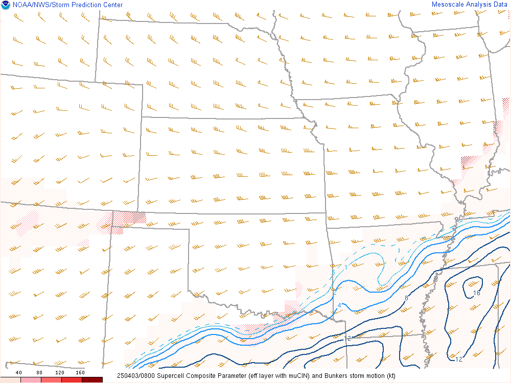
Supercell Composite (Right Movers):
SCP accounts for Effective SRH, Effective Bulk Wind Difference, and most unstable CAPE. Only positive values of SCP are displayed, which correspond to environments favoring right-moving (cyclonic) supercells.
Supercell Composite (Left Movers):
Only negative values of LSCP are displayed, which correspond to environments favoring left-moving (anticyclonic) supercells.

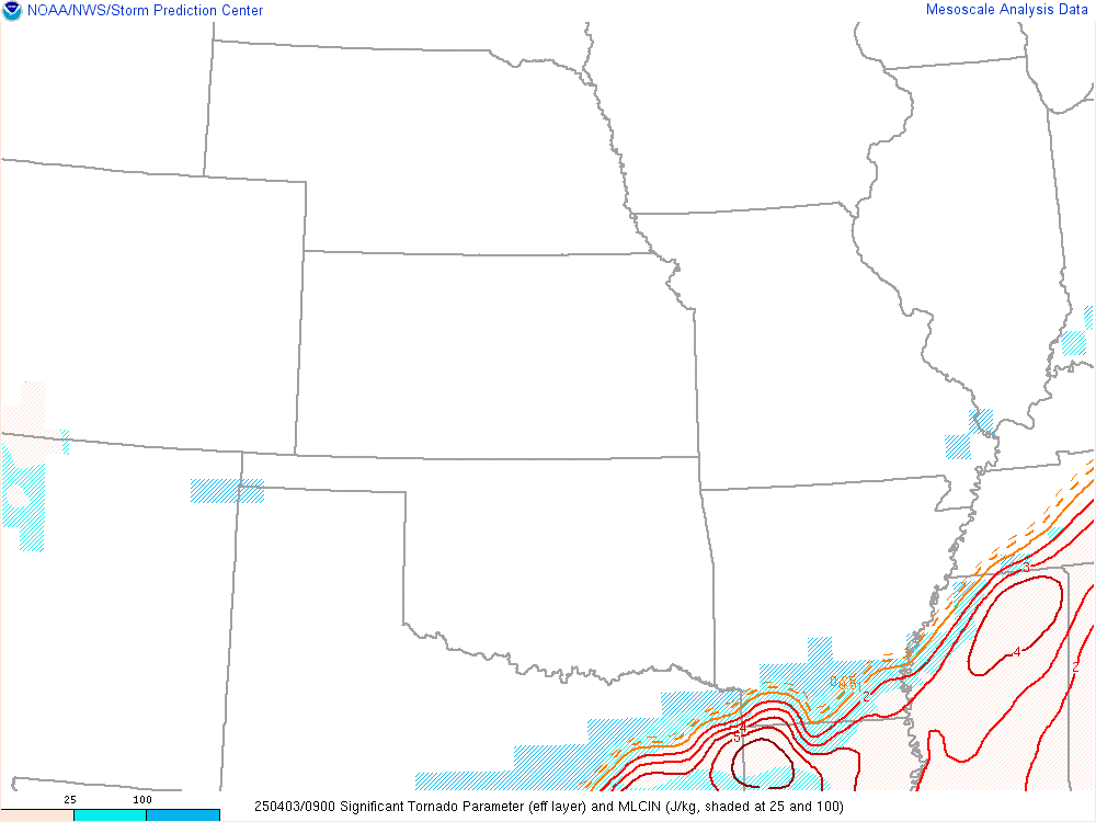
Effective Layer Sig Tor Parameter:
A multiple ingredient, composite index that includes effective bulk wind difference (EBWD), effective storm-relative helicity (ESRH), 100-mb mean parcel CAPE (mlCAPE), 100-mb mean parcel CIN (mlCIN), and 100-mb mean parcel LCL height (mlLCL). A majority of significant tornadoes (F2 or greater damage) have been associated with STP values greater than 1 within an hour of tornado occurrence, while most non-tornadic supercells have been associated with values less than 1 in a large sample of RAP analysis proximity soundings.
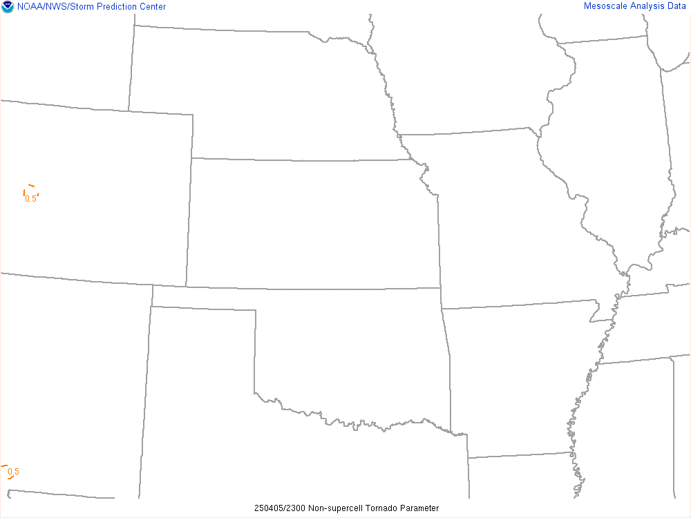
Non-supercell Tor Parameter (“Landspout/Waterspout parameter”):
This normalized parameter is meant to highlight areas where steep low-level lapse rates correspond with low-level instability, little convective inhibition, weak deep-layer vertical shear, and large cyclonic surface vorticity. Values > 1 suggest an enhanced potential for non-mesocyclone tornadoes (AKA landspouts & waterspouts).
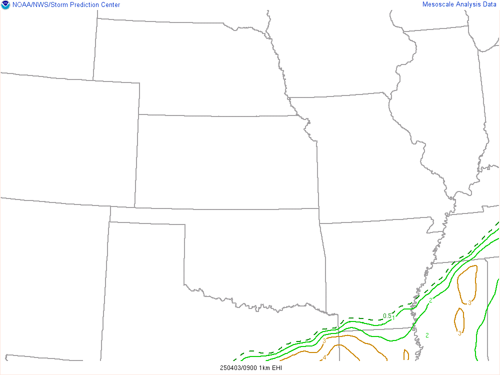
0-1 km EHI:
The basic premise behind the EHI (Energy-Helicity Index) is that storm rotation should be maximized when CAPE is large and SRH is large. 0-1-km EHI values greater than 1-2 have been associated with significant tornadoes in supercells. (In my experience, this parameter leans heavier on CAPE for larger EHI values)
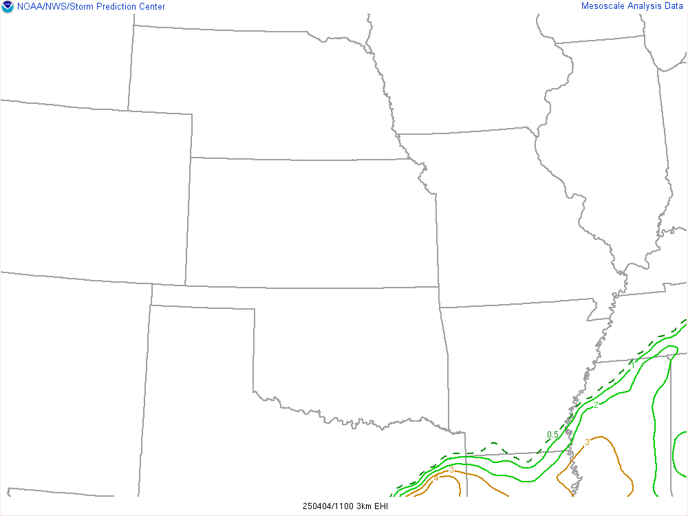
0-3 km EHI:
The basic premise behind the EHI (Energy-Helicity Index) is that storm rotation should be maximized when CAPE is large and SRH is large. 0-3-km EHI values greater than 1-2 have been associated with significant tornadoes in supercells. (In my experience, this parameter leans heavier on CAPE for larger EHI values)
Enhanced Stretching Potential:
This non-dimensional composite parameter based on work by Jon Davies that identifies areas where low-level buoyancy and steep low-level lapse rates are co-located, which may favor low-level vortex stretching and tornado potential.
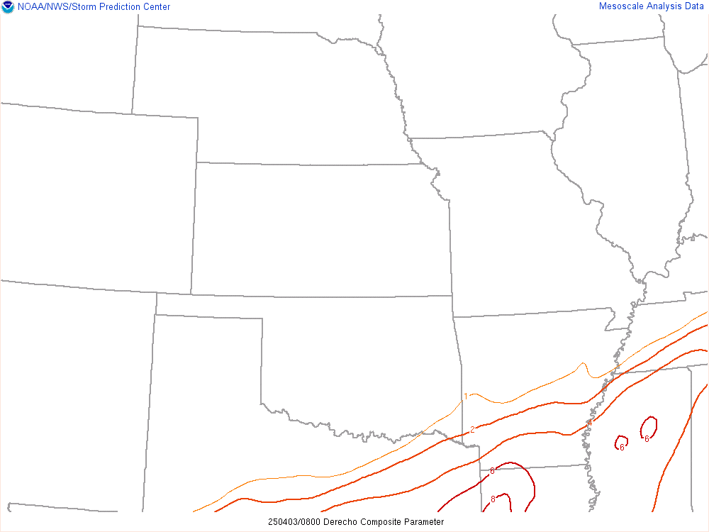
Derecho Composite:
The DCP was developed to identify environments considered favorable for cold pool “driven” wind events through four primary mechanisms: 1) Cold pool production [DCAPE], 2) Ability to sustain strong storms along the leading edge of a gust front [MUCAPE], 3) Organization potential for any ensuing convection [0-6 km shear], and 4) Sufficient flow within the ambient environment to favor development along downstream portion of the gust front [0-6 km mean wind].
.
GL/Northeast View Multi-Parameter FieldsSCP accounts for Effective SRH, Effective Bulk Wind Difference, and most unstable CAPE. Only positive values of SCP are displayed, which correspond to environments favoring right-moving (cyclonic) supercells.

Supercell Composite (Left Movers):
Only negative values of LSCP are displayed, which correspond to environments favoring left-moving (anticyclonic) supercells.

Effective Layer Sig Tor Parameter:
A multiple ingredient, composite index that includes effective bulk wind difference (EBWD), effective storm-relative helicity (ESRH), 100-mb mean parcel CAPE (mlCAPE), 100-mb mean parcel CIN (mlCIN), and 100-mb mean parcel LCL height (mlLCL). A majority of significant tornadoes (F2 or greater damage) have been associated with STP values greater than 1 within an hour of tornado occurrence, while most non-tornadic supercells have been associated with values less than 1 in a large sample of RAP analysis proximity soundings.

Non-supercell Tor Parameter (“Landspout/Waterspout parameter”):
This normalized parameter is meant to highlight areas where steep low-level lapse rates correspond with low-level instability, little convective inhibition, weak deep-layer vertical shear, and large cyclonic surface vorticity. Values > 1 suggest an enhanced potential for non-mesocyclone tornadoes (AKA landspouts & waterspouts).

0-1 km EHI:
The basic premise behind the EHI (Energy-Helicity Index) is that storm rotation should be maximized when CAPE is large and SRH is large. 0-1-km EHI values greater than 1-2 have been associated with significant tornadoes in supercells. (In my experience, this parameter leans heavier on CAPE for larger EHI values)

0-3 km EHI:
The basic premise behind the EHI (Energy-Helicity Index) is that storm rotation should be maximized when CAPE is large and SRH is large. 0-3-km EHI values greater than 1-2 have been associated with significant tornadoes in supercells. (In my experience, this parameter leans heavier on CAPE for larger EHI values)

Enhanced Stretching Potential:
This non-dimensional composite parameter based on work by Jon Davies that identifies areas where low-level buoyancy and steep low-level lapse rates are co-located, which may favor low-level vortex stretching and tornado potential.

Derecho Composite:
The DCP was developed to identify environments considered favorable for cold pool “driven” wind events through four primary mechanisms: 1) Cold pool production [DCAPE], 2) Ability to sustain strong storms along the leading edge of a gust front [MUCAPE], 3) Organization potential for any ensuing convection [0-6 km shear], and 4) Sufficient flow within the ambient environment to favor development along downstream portion of the gust front [0-6 km mean wind].

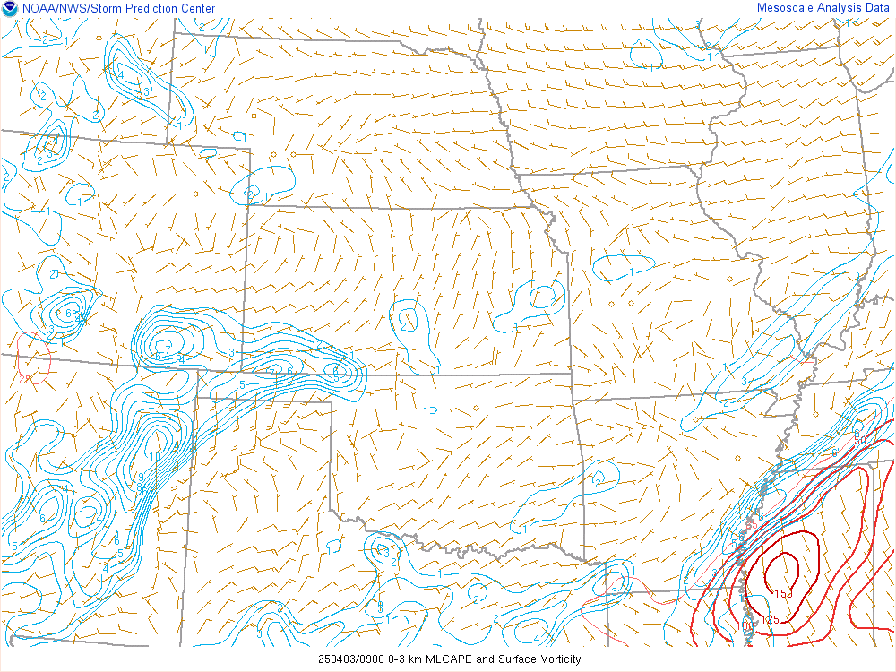
Surface Vorticity and 0-3 MLCAPE:
CAPE in the lowest 3-km above ground level, and surface relative vorticity. Areas of large 0-3-km CAPE tend to favor strong low-level stretching, and can support tornado formation when co-located with significant vertical vorticity near the ground.
LCL Height & 0-1km SRH:

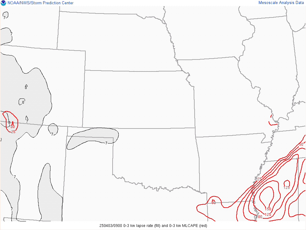
0-3 km MLCAPE & 0-3 km Lapse Rates:
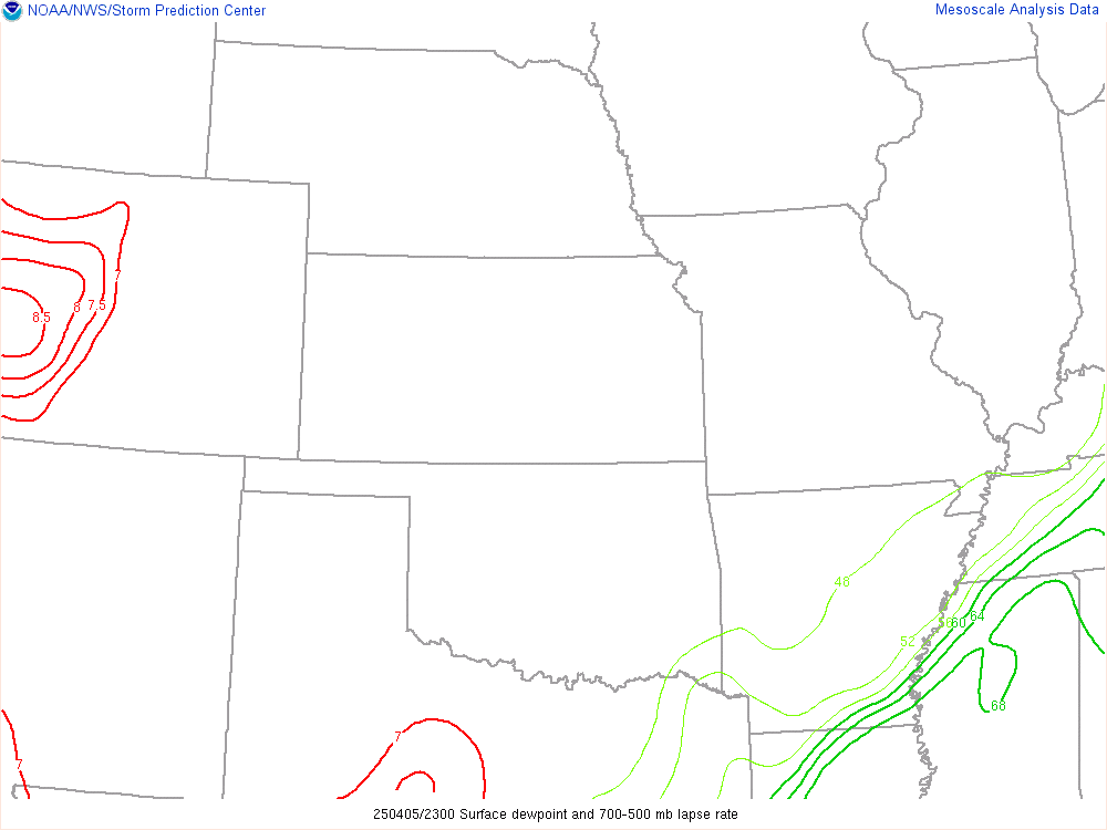
Surface Dewpoint & 700-500mb Lapse Rates:
.
GL/Northeast View Heavy RainCAPE in the lowest 3-km above ground level, and surface relative vorticity. Areas of large 0-3-km CAPE tend to favor strong low-level stretching, and can support tornado formation when co-located with significant vertical vorticity near the ground.

LCL Height & 0-1km SRH:

0-3 km MLCAPE & 0-3 km Lapse Rates:

Surface Dewpoint & 700-500mb Lapse Rates:

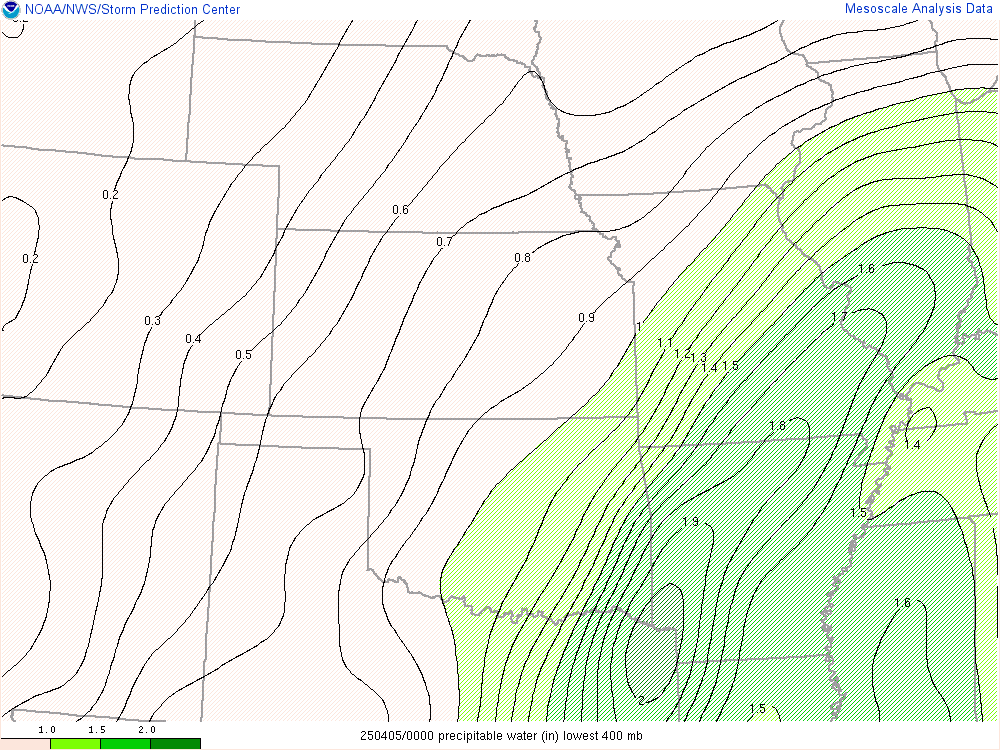
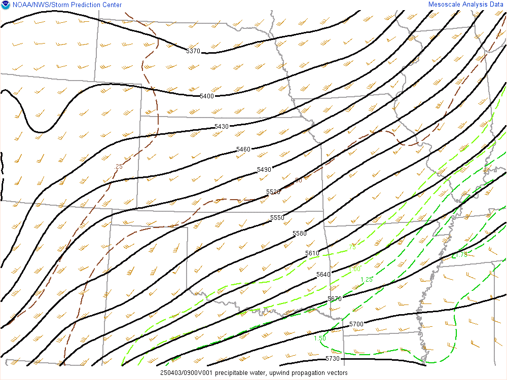
Precipitable Water:
850mb Moisture Transport:

Upwind Propagation Vector:
The upwind “vector approach” is a method developed by Corfidi et al. (1996) to forecast MCS (or more specifically mesoscale beta element – MBE) movement. It is the vector sum of the mean flow through the cloud-bearing layer and the propagation component. The magnitude and direction of the propagation component is assumed to be equal and opposite to that of the low-level jet (850 mb).
.
GL/Northeast View Winter Weather
850mb Moisture Transport:

Upwind Propagation Vector:
The upwind “vector approach” is a method developed by Corfidi et al. (1996) to forecast MCS (or more specifically mesoscale beta element – MBE) movement. It is the vector sum of the mean flow through the cloud-bearing layer and the propagation component. The magnitude and direction of the propagation component is assumed to be equal and opposite to that of the low-level jet (850 mb).

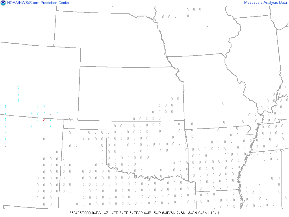
P-type:
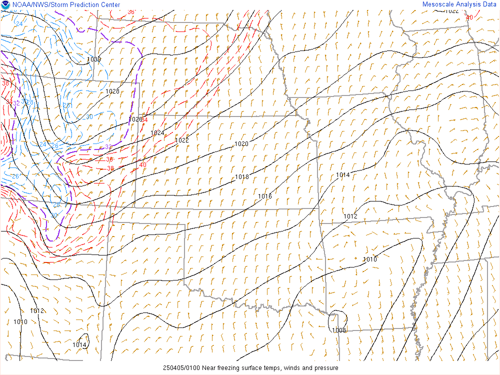
Near-Freezing Surface Temps:
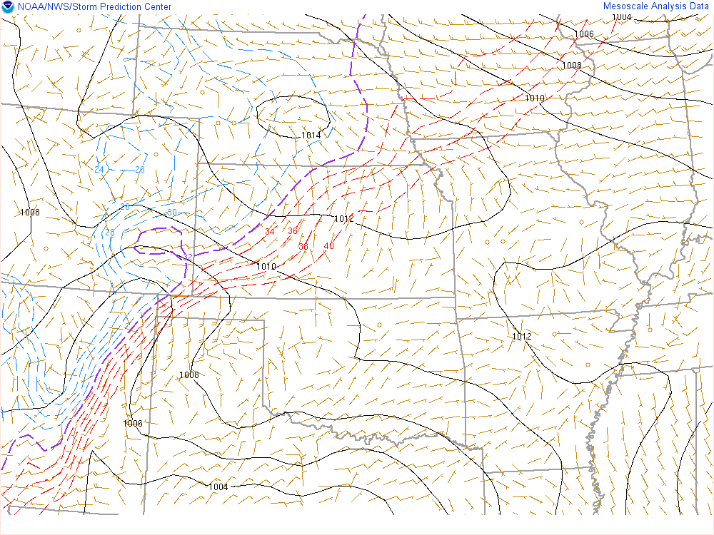
Near-Freezing Surface Wetbulb Temps:
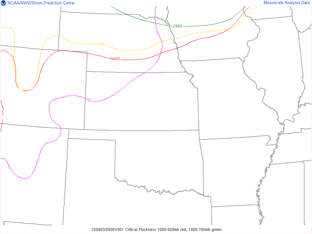
Critical Thicknesses:
Thickness is the vertical distance between two isobaric surfaces, which is often proportional to the temperature of that layer. As such, empirical studies have shown that certain values of differing thickness have shown some skill in differentiating between rain or snow.
1000-500 mb (5400 m)
1000-700 mb (2840 m)
1000-850 mb (1300 m)
850-700 mb (1540 m)
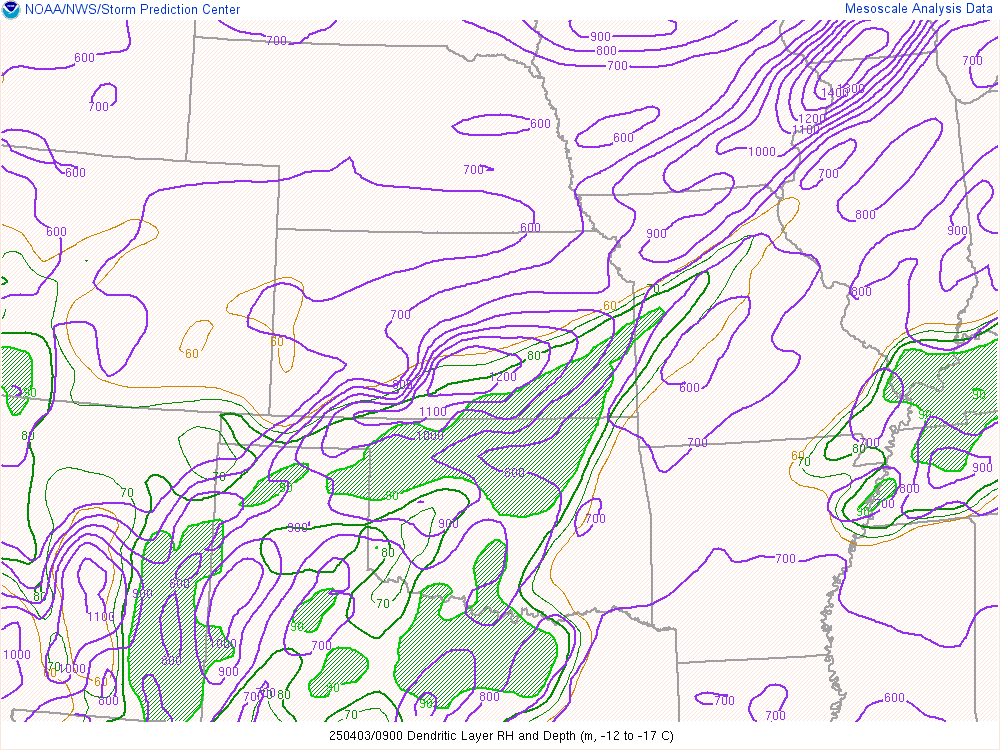
Dendritic Growth Layer Depth:
The depth of the dendritic layer (defined here as the layer with temperatures from -12 to -17 C) in meters. Deeper dendritic layer depths may correspond to greater snowfall rates, assuming no melting layers below.

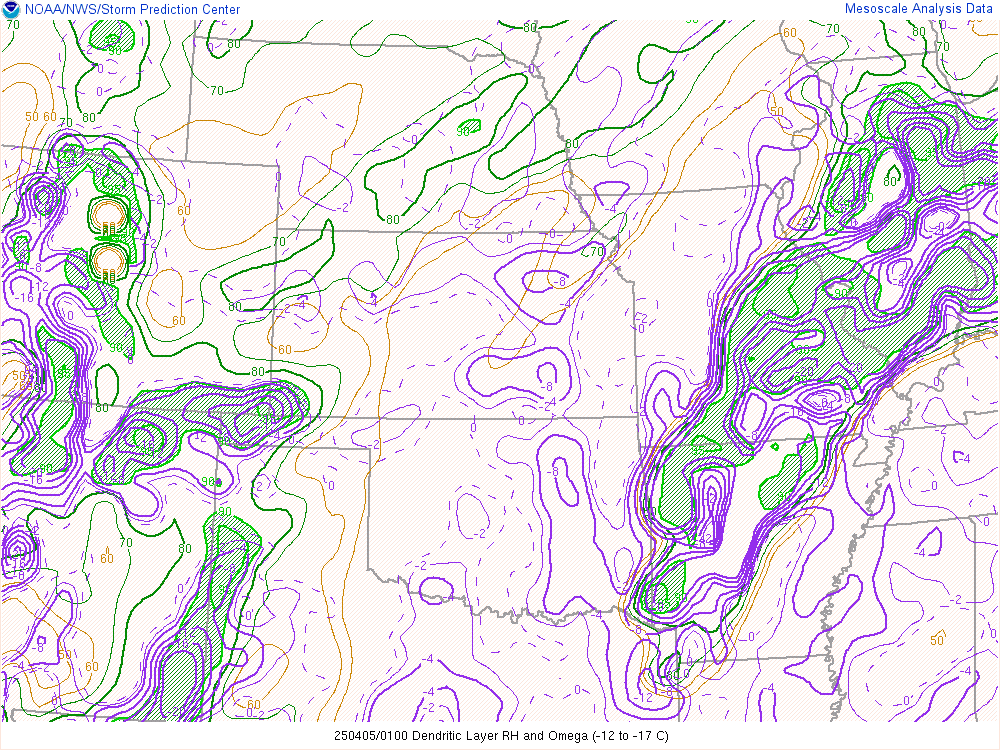
Dendritic Growth Layer RH and Omega:
The relative humidity (RH) and upward vertical motion (Omega) are displayed for the dendritic growth layer (defined here as the layer with temperatures from -12 to -17 C). Strong ascent and saturated conditions in this layer supports rapid growth of dendritic cyrstals, which favors heavy snow production.
Dendritic Growth Layer Depth & RH:
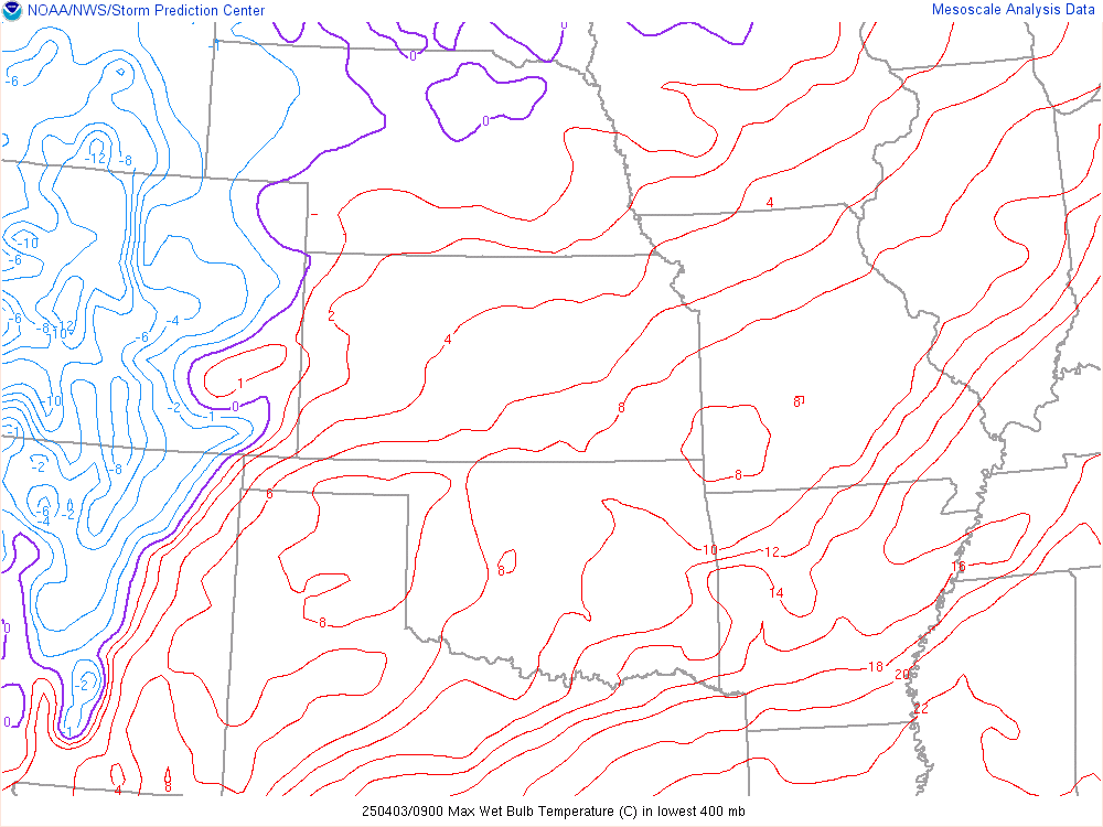
Max Wetbulb Temp:
.
GL/Northeast View Beta Products
Near-Freezing Surface Temps:

Near-Freezing Surface Wetbulb Temps:

Critical Thicknesses:
Thickness is the vertical distance between two isobaric surfaces, which is often proportional to the temperature of that layer. As such, empirical studies have shown that certain values of differing thickness have shown some skill in differentiating between rain or snow.
1000-500 mb (5400 m)
1000-700 mb (2840 m)
1000-850 mb (1300 m)
850-700 mb (1540 m)

Dendritic Growth Layer Depth:
The depth of the dendritic layer (defined here as the layer with temperatures from -12 to -17 C) in meters. Deeper dendritic layer depths may correspond to greater snowfall rates, assuming no melting layers below.

Dendritic Growth Layer RH and Omega:
The relative humidity (RH) and upward vertical motion (Omega) are displayed for the dendritic growth layer (defined here as the layer with temperatures from -12 to -17 C). Strong ascent and saturated conditions in this layer supports rapid growth of dendritic cyrstals, which favors heavy snow production.

Dendritic Growth Layer Depth & RH:

Max Wetbulb Temp:

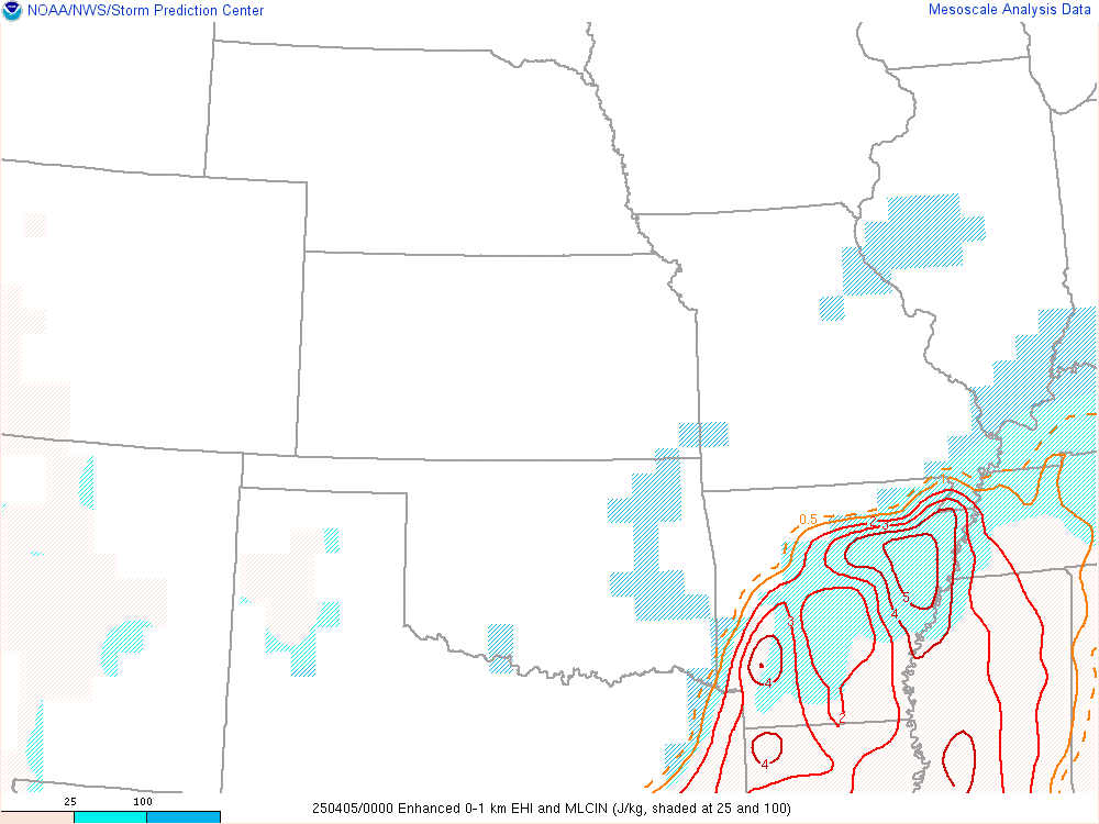
Enhanced EHI:
Values greater than 1 are associated with greater probabilities of tornadic supercells.
Violent Tornado Parameter:
A multiple ingredient, composite index that includes effective bulk wind difference (EBWD), effective storm-relative helicity (ESRH), 100-mb mean parcel CAPE (mlCAPE), 100-mb mean parcel CIN (mlCIN), and 100-mb mean parcel LCL height (mlLCL), 0-3 km mean parcel CAPE and 0-3 km lapse rates.

.
Values greater than 1 are associated with greater probabilities of tornadic supercells.

Violent Tornado Parameter:
A multiple ingredient, composite index that includes effective bulk wind difference (EBWD), effective storm-relative helicity (ESRH), 100-mb mean parcel CAPE (mlCAPE), 100-mb mean parcel CIN (mlCIN), and 100-mb mean parcel LCL height (mlLCL), 0-3 km mean parcel CAPE and 0-3 km lapse rates.
