

Midwest Mesoanalysis
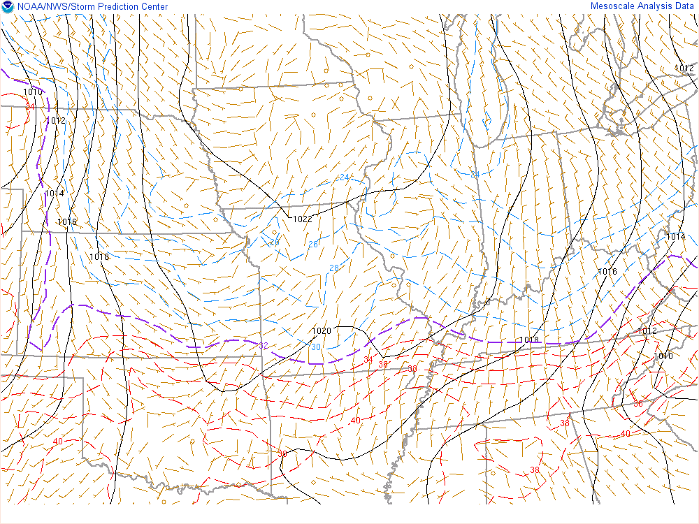
Observations and Surface
Upper Air Products
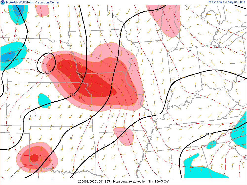
925mb Temp Advection
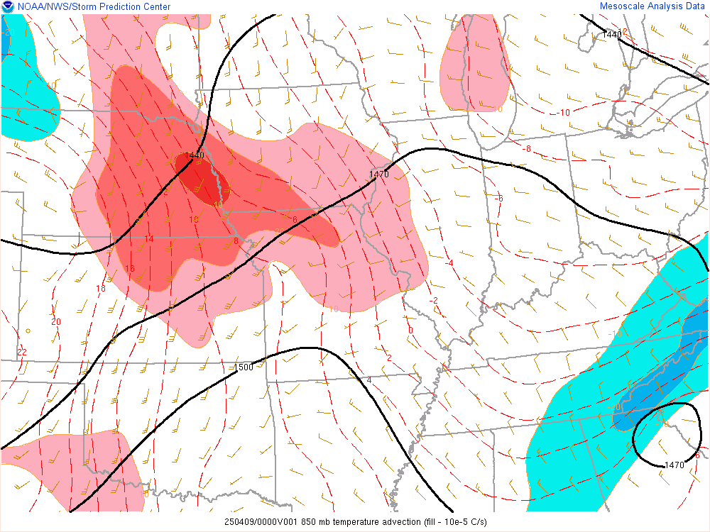
850mb Temp Advection
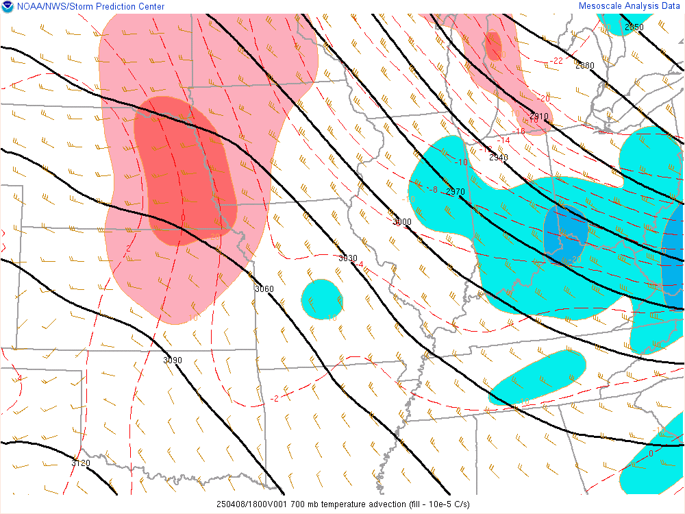
700mb Temp Advection
Deep Mositure Convergance
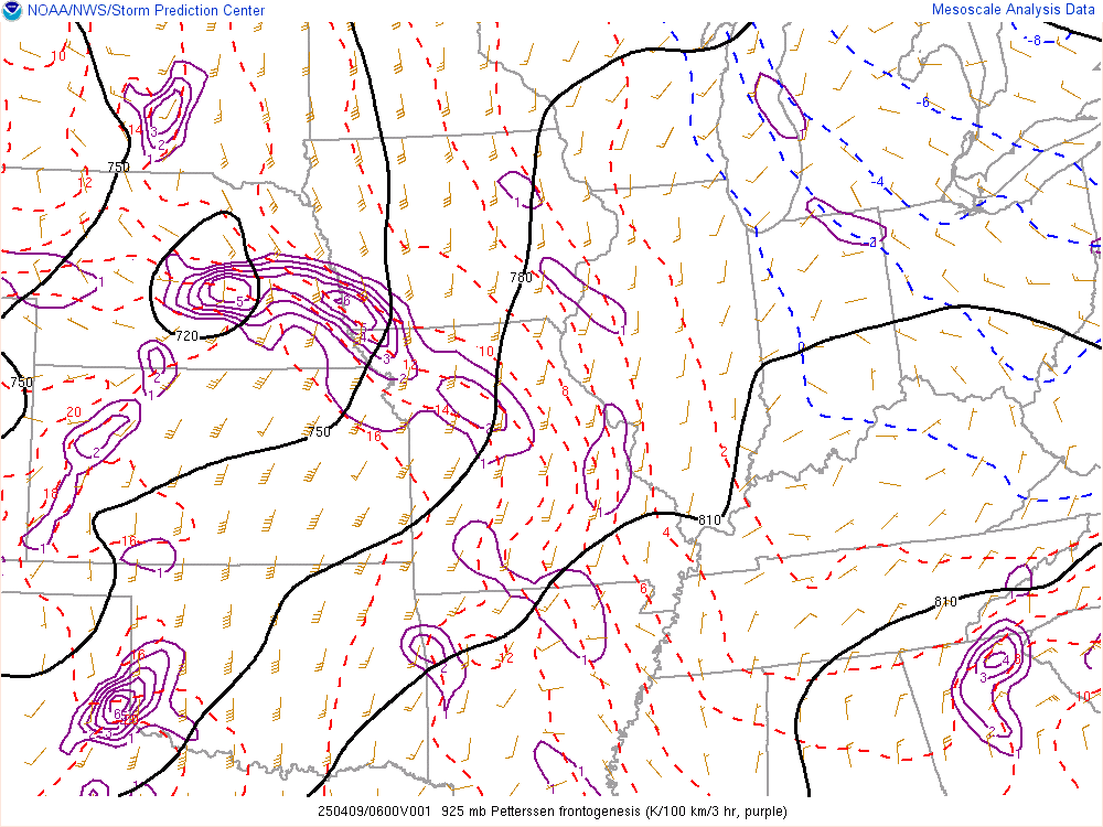
925mb Frontogenesis
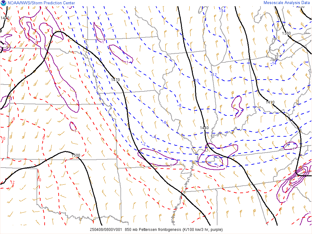
850mb Frontogenesis

700mb Frontogenesis
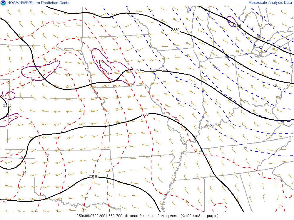
850-700mb Frontogenesis
Thermodynamic Products
Wind Shear Products
Effective Bulk Shear

0-1km Bulk Shear
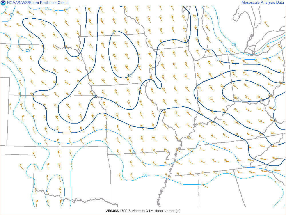
0-3km Bulk Shear

0-6km Bulk Shear
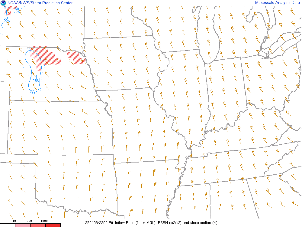
Effective Helicity

0-1km Storm Relative Helicity
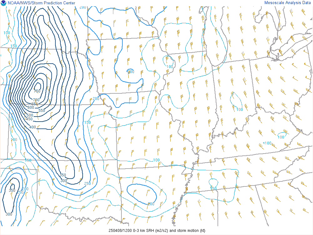
0-3km Storm Relative Helicity

BRN Shear
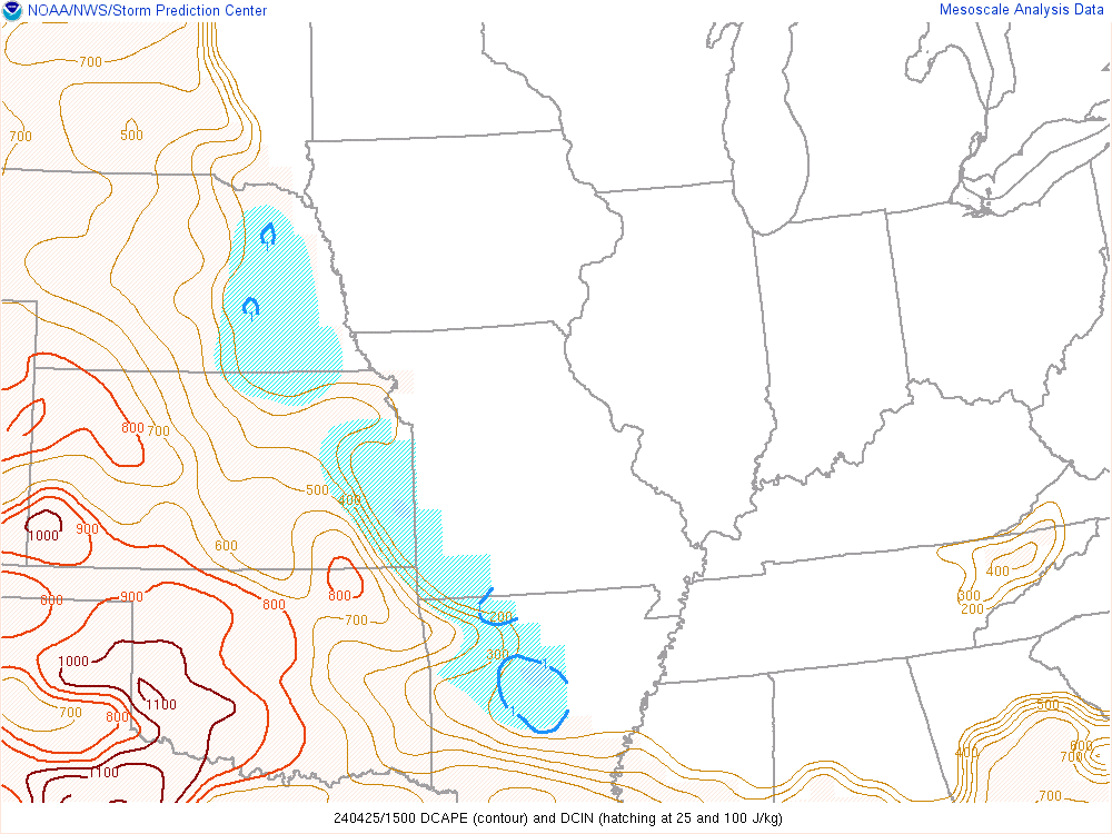
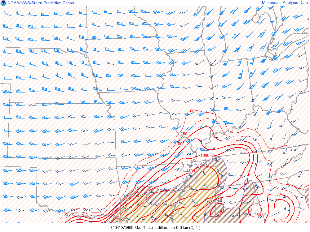
Composite Products
Heavy Rain Products
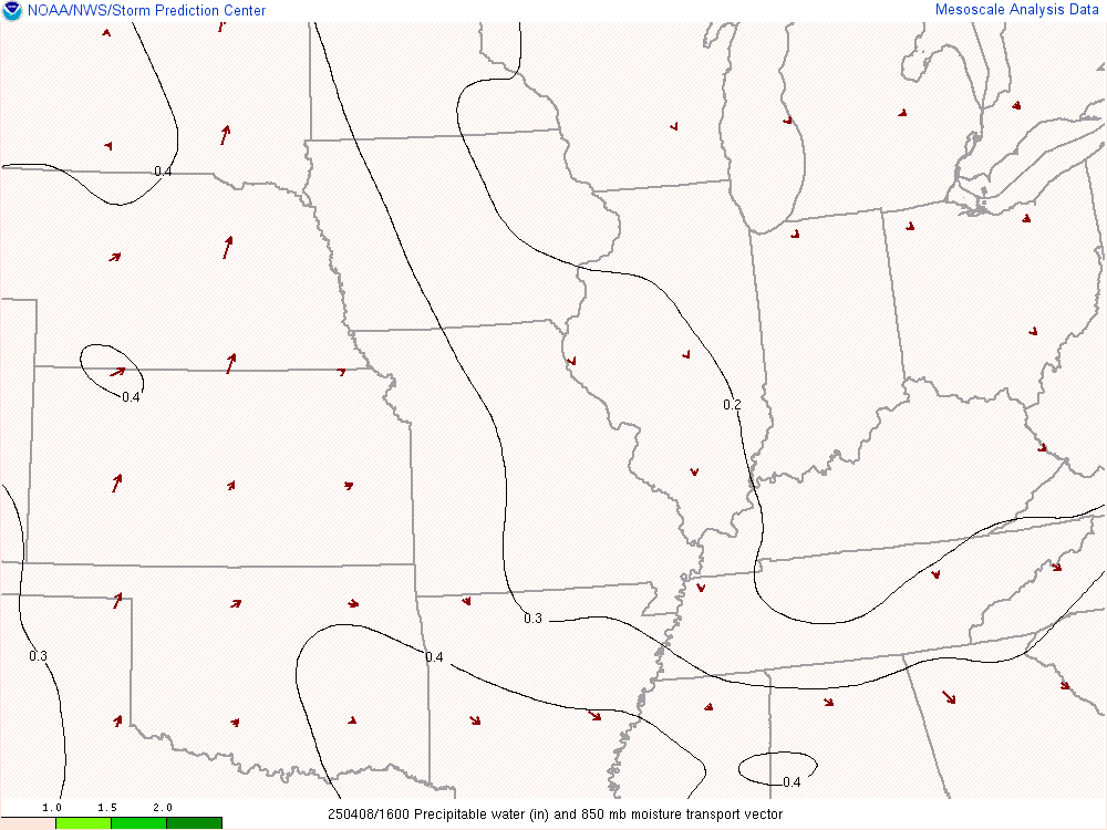
Precipitable Water and 850 Trans Vector

850mb Mositure Transport
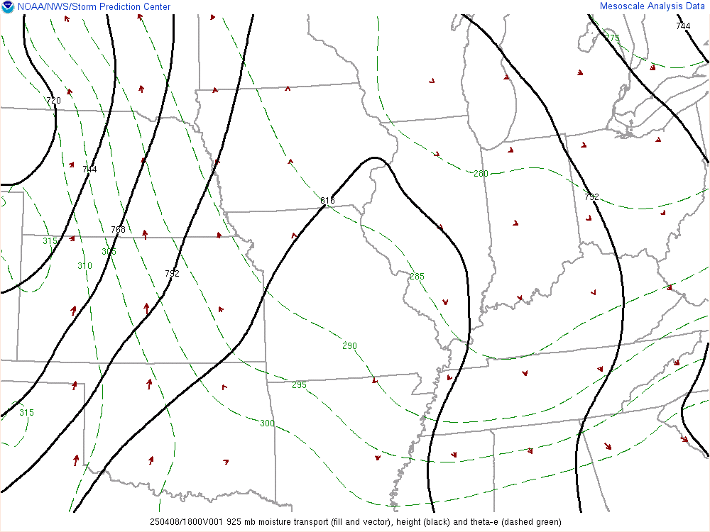
925mb Mositure Transport
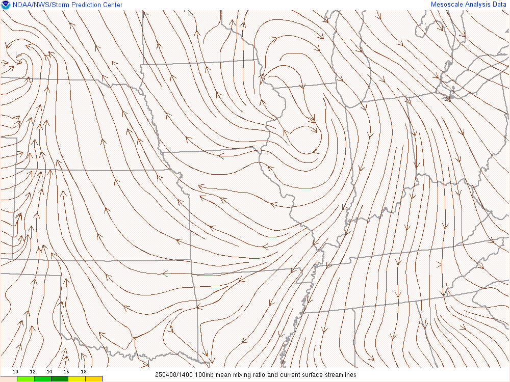
100mb mean Mixing Ratio
Winter Weather Products
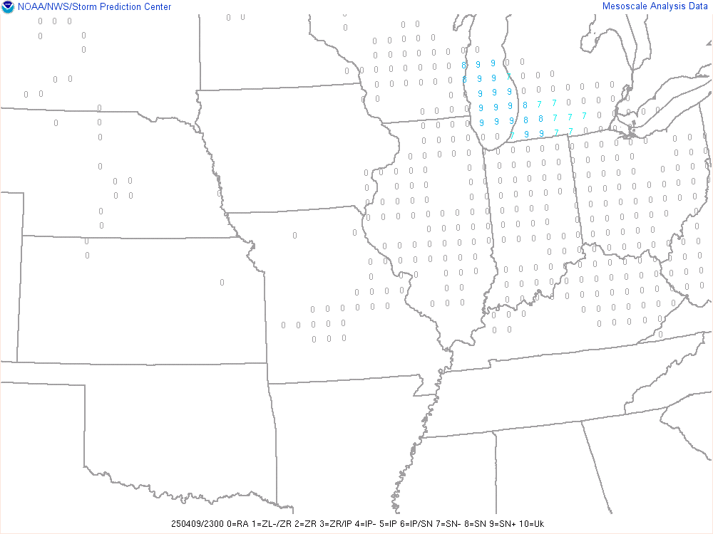
Precipitation Type
Near Freezing Surface Wet Bulb Temp

Critical Thickness
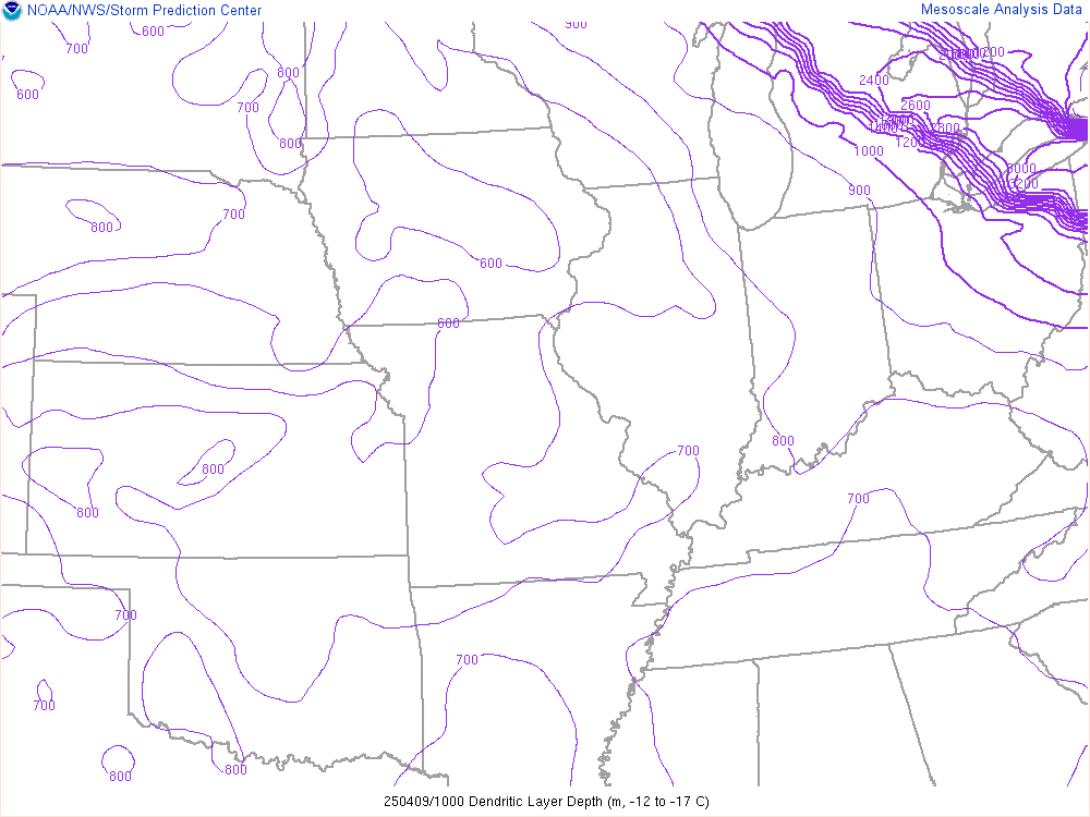
DGZ Depth
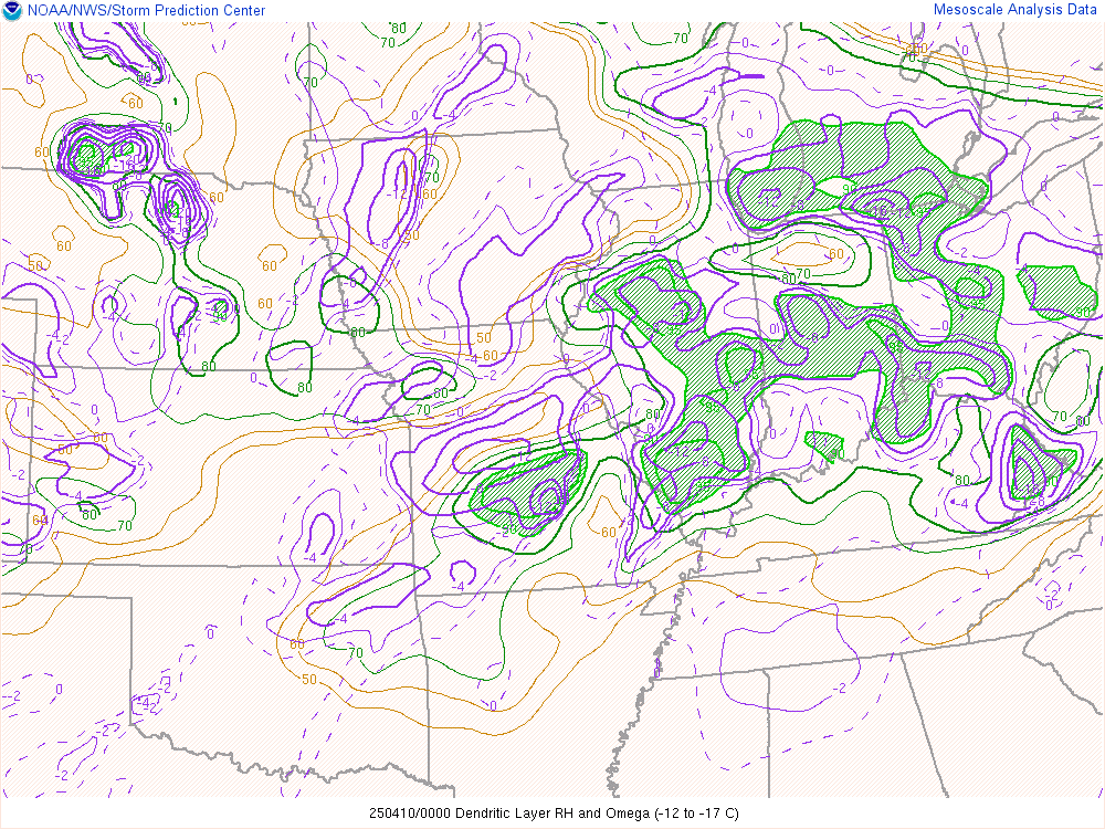
DGZ & Relative Humidity
Observations and Surface


Upper Air Products
| 925mb Temp Advection |
850mb Temp Advection |
 700mb Temp Advection |
 Deep Mositure Convergance |
 925mb Frontogenesis |
 850mb Frontogenesis |
| 700mb Frontogenesis |
 850-700mb Frontogenesis |
Thermodynamic Products


Wind Shear Products
| Effective Bulk Shear |
 0-1km Bulk Shear |
 0-3km Bulk Shear |
 0-6km Bulk Shear |
 Effective Helicity |
 0-1km Storm Relative Helicity |
 0-3km Storm Relative Helicity |
 BRN Shear |
Composite Products


Heavy Rain Products
 Precipitable Water and 850 Trans Vector |
 850mb Mositure Transport |
 925mb Mositure Transport |
 100mb mean Mixing Ratio |
Winter Weather Products
 Precipitation Type |
 Near Freezing Surface Wet Bulb Temp |
 Critical Thickness |
 DGZ Depth |
DGZ & Relative Humidity |